
- Plot sizeप्लॉट का नाप30 × 50 ft · 1,500 sq ft
- LayoutSanctioned by T&CP
- Zonedज़ोनResidential · Development Plan 2021
- Road in front9 m · no widening proposed
- ColonyRegistered · RERA on record
INDORE, IN PERSPECTIVE
Indore's land.
Know its story.
Buying, selling or doing your homework? See Indore's colonies, sanctioned layouts, master-plan zoning and the records behind them, together on one map.
ज़मीन से जुड़े हर सवाल का जवाब, एक ही जगह।
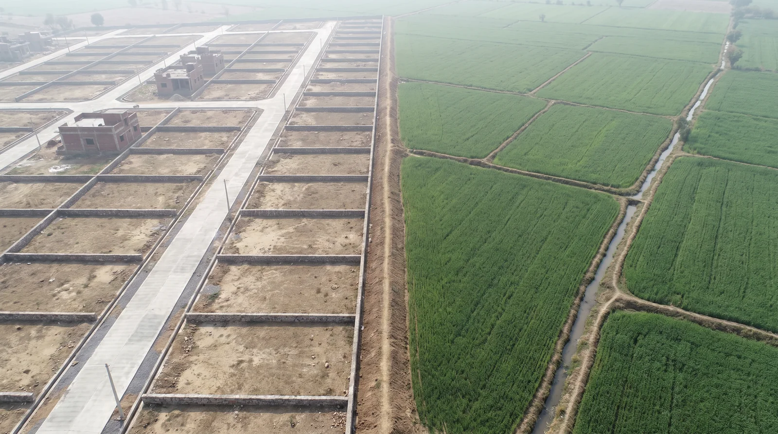
Zameen se jude har sawaal ka jawaab, ek hi jagah.Illustrative image, not a registered colony
Built by architects.
Grounded in local knowledge.
ज़मीन लेने से पहले, सही सवाल पूछिए।Ask the right questions.
- What is this land zoned for?
- कितना निर्माण कर सकते हैं?
- ज़मीन किस ज़ोन में आती है?
- Who is the promoter, really?
- Is this colony registered at all?
- प्रस्तावित रोड तो नहीं निकल रही?
- कॉलोनी रजिस्टर्ड है या नहीं?
- How much am I allowed to build?
- Is a proposed road cutting through it?
- प्लॉट ज़मीन पर कहाँ है?
- नक्शा पास कहाँ है?
- Whose khasra number is this?
- Which plot is which on the ground?
- खसरा नंबर कौन सा है?
- बिल्डर कौन है?
- Where is the sanctioned layout?
A NEW WAY TO SEE
The details make
all the difference.
Go beyond a name on a listing.
Get to know the land beneath it.
NOT A MOCKUP. THE ACTUAL MAP.
From what you see.
To what is sanctioned.
Move across the land. Reveal the approved plan.
See exactly where the drawing belongs.
Hover or tap a plot to see its details. Open the full map to explore the register.
Good land decisions
start with a clearer view.

The city we know.
The details you need.
EXPERTISE MEETS LOCAL KNOWLEDGE
An architect's eye.
An Indori's understanding.
आर्किटेक्ट की नज़र, बाज़ार की समझ।
Built by architects and planners who understand the property market, with documents from verified sources and details referenced with practising Indore brokers. One destination to see a property the right way.
Built by architects and planners
People who read plans, boundaries and drawings for a living — to scale, on the ground, not as decoration.
Verified with brokers
Documents and project details are referenced and cross-checked with practising brokers who deal in the Indore market every day.
The market, understood
How real estate in Indore actually moves — localities, pricing, demand — built into how every property is shown.
One destination
Boundary, plan, zoning and paperwork on one screen, so an informed choice needs one place, not ten phone calls.
INDORI ZAMEEN PARTNERS
Your deals. Your buyers.
On the city's own map.
A workspace for Indore's real estate consultants and developers, on the same register and sanctioned plans you see here. It opens on today's work, keeps every deal and follow-up on your phone — with or without signal — and puts your properties and your buyers on the map you show a client.
Today's work, every deal and follow-up on your phone, your properties and buyers on the city's own map — for Indore's consultants and developers.
For real estate consultants
People, deals from new to won, follow-ups with a time, your own properties, and messages ready to send — on your phone, with or without signal.
For developers
Your colonies on the map with the plan drawn in, the plots you are selling, the consultants you nominate, and every enquiry in one place.
Verified, then open
Apply with your registration; once an administrator approves it, the workspace is yours — and buyers who enquire on your colonies reach you.
START WITH A PLACE
Your next chapter.
Find its place.
Opening the register...
A LITTLE MORE CLARITY
Good questions.
Clear answers.
Get to know what Indori Zameen is, where the records come from, and how to use them.
Ask us something01How do I check whether a colony in Indore is registered?
02What does the Indore Master Plan 2021 say about a plot?
03Can I see the approved layout plan of a colony?
04Is Indori Zameen free to use?
05Where do the records come from?
06Which cities’ master plans are on the portal?
BEFORE YOU DECIDE
Before the family
says yes.
Check the boundary, the plan, the zoning and the papers yourself.
On your phone, without asking anyone for a favour.