Master plan · Telangana
Master Plan of Hyderabad
See Hyderabad's master plan mapped on the ground, compare it with satellite imagery, and find the zone of your property — with the plan documents and the building rules that apply in Hyderabad.
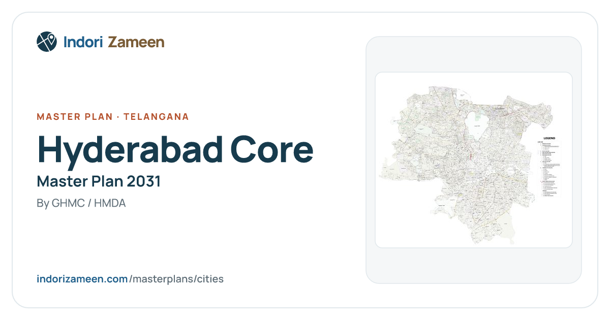
See the mapped master plan
The Hyderabad plan sits at its true place on the map, from the whole planning area down to a single street.
Compare it with the ground
Drag the Compare divider across the plan, or fade it with the opacity slider, to check it against satellite imagery of what is there today.
Find the zone of your property
Search for your locality or landmark. The pin lands on the plan, and the colour under it is the land use the plan gives that ground.
Which plan applies in Hyderabad today
Hyderabad's land use still comes from several master plans that HMDA now administers. These are the revised plan for the old Municipal Corporation of Hyderabad (MCH) core, the Cyberabad Development Authority plan, the plan of the former airport authority (HADA), and the Metropolitan Development Plan 2031 for the extended area. In 2025 HMDA's area was expanded to the Regional Ring Road, and a Master Plan 2050 is being prepared. A new Future City Development Authority plans the area south of the airport. Building rules come from the Telangana Building Rules 2012 (G.O. 168) and later amendments. The lake catchment west of the airport stays under GO 111 restrictions until the state cabinet decides on them. Since 2025, building and layout applications for GHMC, the new Cyberabad and Malkajgiri corporations, HMDA and DTCP areas go through the BuildNow Telangana portal.
The plans on our map
- Open on the map
Hyderabad Core Master Plan 2031
- Open on the map
Hyderabad Region Master Plan 2031
- Open on the map
Hyderabad Outer Region (HMDA) Master Plan 2031
- Open on the map
Hyderabad Airport Area Master Plan 2031
- Open on the map
Hyderabad-Cyberabad Development Area Master Plan 2031
Master plan documents
The plans in force, the drafts and the maps, at the authority that publishes them.
Revised Development Plan (Master Plan) of the erstwhile MCH area: HMDA core area
in forceCircle-by-circle land-use maps for the old Municipal Corporation of Hyderabad area, along with the list of commercial roads and the zoning regulations and GOs.
Metropolitan Development Plan 2031 (HMDA extended area): mandal maps
in forceMandal-wise land-use maps of the Metropolitan Development Plan 2031. It covers the extended HMDA area outside the core, Cyberabad and the ORR growth corridor.
Note: Notified by G.O.Ms.33 (MA&UD) on 24 January 2013. In 2025 HMDA's area grew to about 10,472 sq km, and a Master Plan 2050 is being prepared. Newly added villages may not yet have a detailed plan.
Cyberabad Development Area master plan
in forcePlan sheets for the Cyberabad IT corridor, covering Madhapur, Gachibowli and the surrounding area.
Note: Plan images only. The zoning notes are in HMDA's zoning regulations document.
HADA master plan: G.O.Ms.287 (2008)
in force (merged into HMDA plans)The government order for the master plan around Rajiv Gandhi International Airport at Shamshabad, an area HMDA now administers.
Note: The GO is a scanned image, so its text was not verified. Parts of the airport area outside the ORR corridor were folded into MDP 2031.
HMDA expansion to the Regional Ring Road: G.O.Ms.68 (12 March 2025)
in forceThe order that extended the Hyderabad Metropolitan Region up to the Regional Ring Road, covering more than 1,300 villages in 11 districts.
Future City Development Authority: G.O.Ms.69 (12 March 2025)
in force (plan in preparation)The order that created a separate development authority for about 765 sq km of 'Future City' south of the airport. Its master plan was due by the end of 2026.
Note: This 2025 G.O. 69 is not the same as the 2022 G.O. 69 on GO 111.
HMDA master plan page
referenceHMDA's index of master plans.
Building rules in Hyderabad
What decides how much you may build, how far back from the road and how high: the rules of Telangana and of Hyderabad itself, on top of the national codes below.
Hyderabad
HMDA: Government Orders and Acts (building rules, zoning, GO 111, expansion)
HMDA's list of government orders on building rules, zoning, layouts, LRS/BRS, the ORR corridor and HMDA's expansion.
Zoning Regulations and Master Plan GOs (HMDA)
The zoning regulations compiled together with the government orders that sanctioned the Hyderabad master plans.
G.O.Ms.No.111 (1996): protection of the Osman Sagar and Himayat Sagar catchment
Restricts construction and industry in the villages within 10 km of the twin reservoirs, west and south-west of the city near the airport.
Note: A 2022 G.O. 69 tried to lift these restrictions. The state later told the High Court it would follow GO 111 until an expert committee reported. As of August 2026, the committee's report was waiting for a cabinet decision, so treat GO 111 as still in force.
Telangana
Telangana Building Rules 2012: G.O.Ms.No.168 (7 April 2012)
The main building rules for GHMC, HMDA and other urban areas. They cover setbacks, heights, parking, high-rise requirements and TDR, and have been amended many times.
Note: Later amendments include G.O.s 7 and 8 of 2016 and G.O.Ms.95 of 2026, which changed setbacks and heights through TDR. See HMDA's GOs page.
Telangana Municipalities Act, 2019 (Act 11 of 2019)
The state municipal law. Among other things, it underpins self-certified building permission and penalties for unauthorised construction in Telangana towns.
Note: India Code timed out when checked. A publication of the Act by the Centre for Good Governance (a Telangana government institute) loaded: https://www.cgg.gov.in/wp-content/uploads/2022/05/CGG-publication-on-TM-ACT.pdf. GHMC areas are also governed by the GHMC Act 1955.
Open the official sourceindiacode.nic.inThe official site did not answer when checked
Telangana RERA
Telangana's RERA portal for checking registered projects and agents.
National codes, everywhere in India
National Building Code of India 2016 (SP 7:2016)
The national model code for how buildings are planned, built and made safe. It covers structure, fire and life safety, plumbing, electrical work and accessibility, and states base their building rules on it.
Model Building Bye-Laws 2016
A template set of building bye-laws. States and cities adapt it into their own rules on setbacks, FAR, parking, green building and approval steps.
Real Estate (Regulation and Development) Act, 2016
Larger real-estate projects and agents must register with the state RERA. The Act sets builders' obligations and gives buyers a fast way to file complaints.
Harmonised Guidelines and Standards for Universal Accessibility in India 2021
Design standards that make buildings and public spaces usable by persons with disabilities, older people and children. The RPwD rules make them binding for many buildings.
Urban and Regional Development Plans Formulation and Implementation (URDPFI) Guidelines 2014
National guidance on preparing master and development plans. It includes the land-use categories and amenity standards that most state plans follow.
Eco Niwas Samhita 2018 (Energy Conservation Building Code - Residential)
An energy-efficiency code for homes. It limits heat gain through walls, roofs and windows, encourages daylight and ventilation, and states adopt it into their bye-laws.
NOCAS - Height clearance NOC around airports
The online system for getting the height No Objection Certificate needed for buildings near civil airports. The height allowed depends on how far the site is from the runway.
National Monuments Authority - NOC near protected monuments
Construction is prohibited within 100 m of a centrally protected monument, and within 300 m it needs NMA permission. This site handles those applications and publishes heritage bye-laws.
Indicative zoning norms · FAR, coverage, height
| Zone | FAR / FSI | Coverage | Height |
|---|---|---|---|
| Residential Plots | 2.0 | 60% | Unrestricted |
| Residential Apartments | 3.0 | 60% | Unrestricted |
| Commercial | 5.0 | 70% | Unrestricted |
| Industrial | 1.5 | 60% | 16m |
Indicative norms read off the published plan for Hyderabad Core. Check the sanctioned document and the building rules above with GHMC / HMDA before relying on them.
Questions about the Hyderabad master plan
Is TS-bPASS still used?
TS-bPASS (later TG-bPASS) was the self-certification system from 2020. Since 2025, new building and layout applications in GHMC, HMDA and DTCP areas go through the BuildNow Telangana portal.
Has GO 111 been scrapped?
Not finally. A 2022 order tried to lift it, but the government told the court it would keep following GO 111 until an expert committee reported. In August 2026 that report was still waiting for a cabinet decision.
Which master plan applies to my Hyderabad plot?
It depends on where the plot is. Old MCH limits use the core-area plan, the IT corridor uses the Cyberabad plan, and outer and airport areas use MDP 2031 or the HADA plan. Villages added in 2025 may still be waiting for the Master Plan 2050.
Who approves buildings in Gachibowli or Kukatpally now?
Since February 2026 these areas fall under the new Cyberabad Municipal Corporation, which approves plans through BuildNow.
Indori Zameen is an informative platform, not an official record. Every link and status on this page was checked on 28 September 2026; plans and rules change by notification, so confirm with the authority — and a registered architect — before you buy or build.