
ज़मीन का भी आधार
Bhu-Aadhaar (ULPIN): the 14-character ID every land parcel is getting
What the parcel ID is made from, what it settles about a piece of land, what it leaves to other papers, and where to look for it in Madhya Pradesh.
On this page
Bhu-Aadhaar, officially the Unique Land Parcel Identification Number or ULPIN, is a 14-character code of letters and digits given to a single land parcel. It is generated from the coordinates of the parcel's corners on a georeferenced map. It tells you which piece of ground a record is about. It does not tell you who owns it.
Why every parcel is being numbered
For most of India's history a piece of land has been identified by its khasra or survey number inside a village. That works locally, but the same number repeats in the next village, numbers change when fields are divided, and village and district boundaries themselves get redrawn. A single national identifier, tied to the ground rather than to an administrative unit, is meant to fix that.
The Centre has been pushing the idea for several years:
| When | What happened |
|---|---|
| 2021 | ULPIN launched under the Digital India Land Records Modernisation Programme (DILRMP) |
| October 2024 | About 8.4 crore of 28.72 crore listed parcels had a ULPIN, roughly 30 per cent |
| March 2026 | The Centre's target for completing the job |
| September 2026 | DILRMP 3.0 launched for 2026–31, with ₹565.5 crore, promising a Bhu-Aadhaar for every parcel and fully georeferenced maps |
Aadhaar for a person, Bhu-Aadhaar for a parcel
The name invites comparison with the Aadhaar number most people carry, and the comparison is useful as long as you notice where it stops.
| Aadhaar | Bhu-Aadhaar (ULPIN) | |
|---|---|---|
| Length | 12 digits | 14 characters, letters and digits |
| Issued by | UIDAI | The state revenue department |
| Tied to | A person's fingerprints, iris and details | The coordinates of the parcel's corners |
| Identifies | A person | A piece of land |
| Does not prove | Citizenship, on its own | Ownership, on its own |
Both are identifiers. Neither is a certificate of rights. An Aadhaar number confirms who you are, not that you are a citizen; a ULPIN confirms which parcel is meant, not who holds it.
पहचान बताता है — मालिक नहीं।
Pehchaan batata hai — maalik nahin.
How the number is made
The ID is built from geometry, not from a register. Three points explain most of what you need to know.
- It starts from the corners. The latitude and longitude of each corner of the parcel on a georeferenced map feed the calculation. The state revenue department generates the number using software from the Department of Land Resources, built to international standards for data quality and geospatial data (ECCMA and OGC).
- It carries no place codes. The ID does not contain state, district or village codes, so it is designed to survive a change in those boundaries.
- No matched map, no ID. If a village's map has not yet been georeferenced, its parcels cannot be given a ULPIN. That is why coverage varies so much from district to district.
What it settles, and what it leaves to other papers
Read the ID for what it is: an answer to "which parcel?" That is valuable. It is not an answer to "whose?" or "is it clean?"
It settles:
- which parcel a record refers to, with one number for one piece of land;
- where that parcel sits, through its corners on the state's map;
- continuity, because the number stays the same when the whole parcel is sold.
Check these separately, as before:
- Who owns it: the khasra and B-1 entries, and the chain of registered deeds.
- Whether a loan sits on it: an encumbrance search and the bank's mortgage entries. Linking loan information to land records is still under discussion at the Centre, so do not assume the ID will show it.
- Whether there is a dispute: civil and revenue court records.
- What you may build: the sanctioned layout and the master-plan zone.
When a field is divided into plots
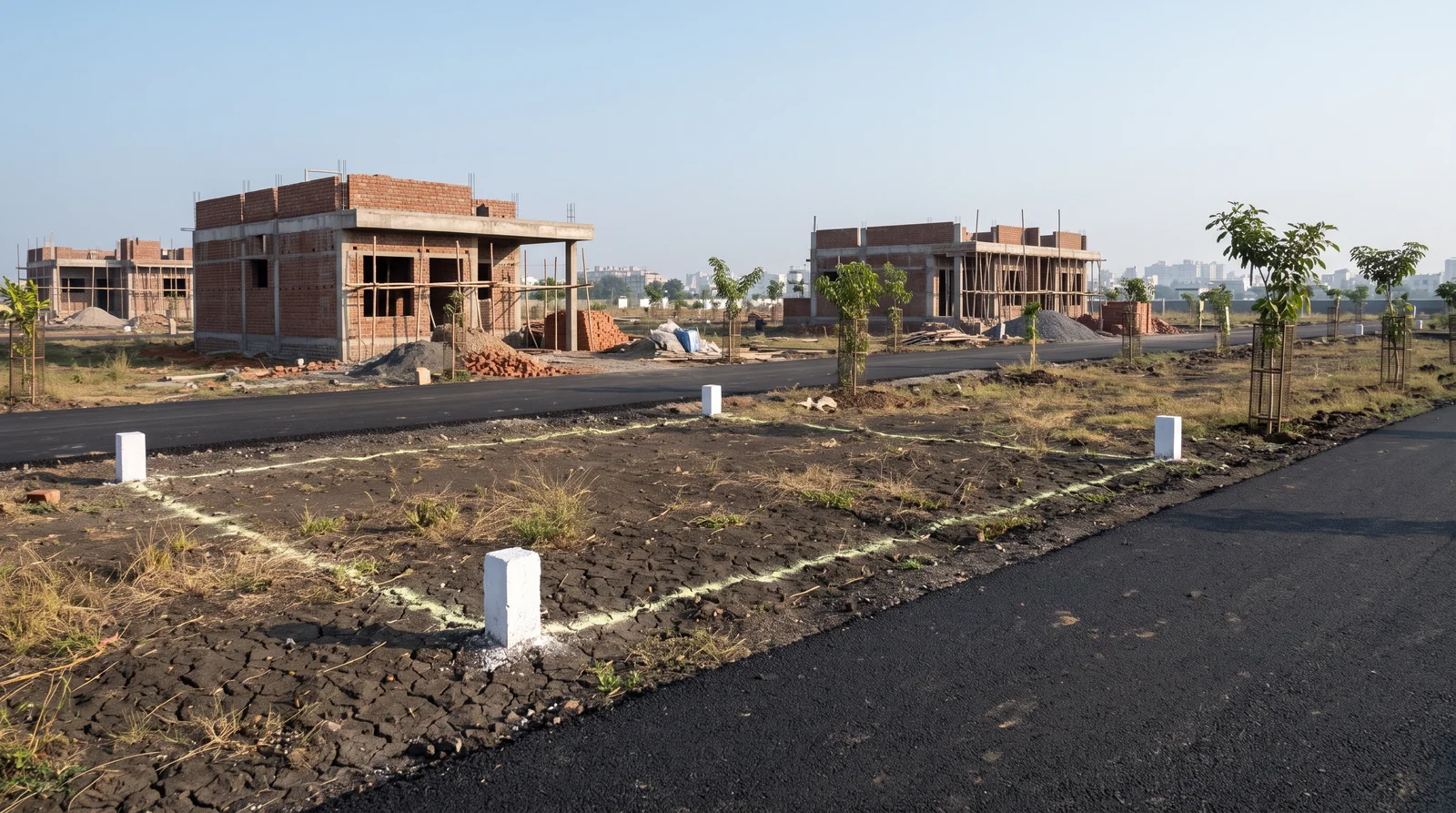
Plotted colonies are cut from larger fields, so this is the part that matters most for buyers in Indore. The ID follows the parcel's shape. If a field is sold whole, it keeps its ID. If it is partitioned, each new piece gets a new ID and the old one is archived for reference. On paper you see the same thing happening to khasra numbers, as a number like 45 becomes 45/1 and 45/2, then 45/1/1.
So when someone shows you a ULPIN, ask what shape it describes. It should describe the piece you are paying for, not the whole field it was cut from. If it still covers the entire original field, ask why the division has not yet reached the map.
Then walk the corners
A number generated from a map is only as accurate as the map itself. Stand at each corner of the plot, compare what you see with the land-record map and the sanctioned layout, and raise anything that does not agree before any money changes hands. A neat ID on a screen does not move a boundary wall that sits a metre to the left.
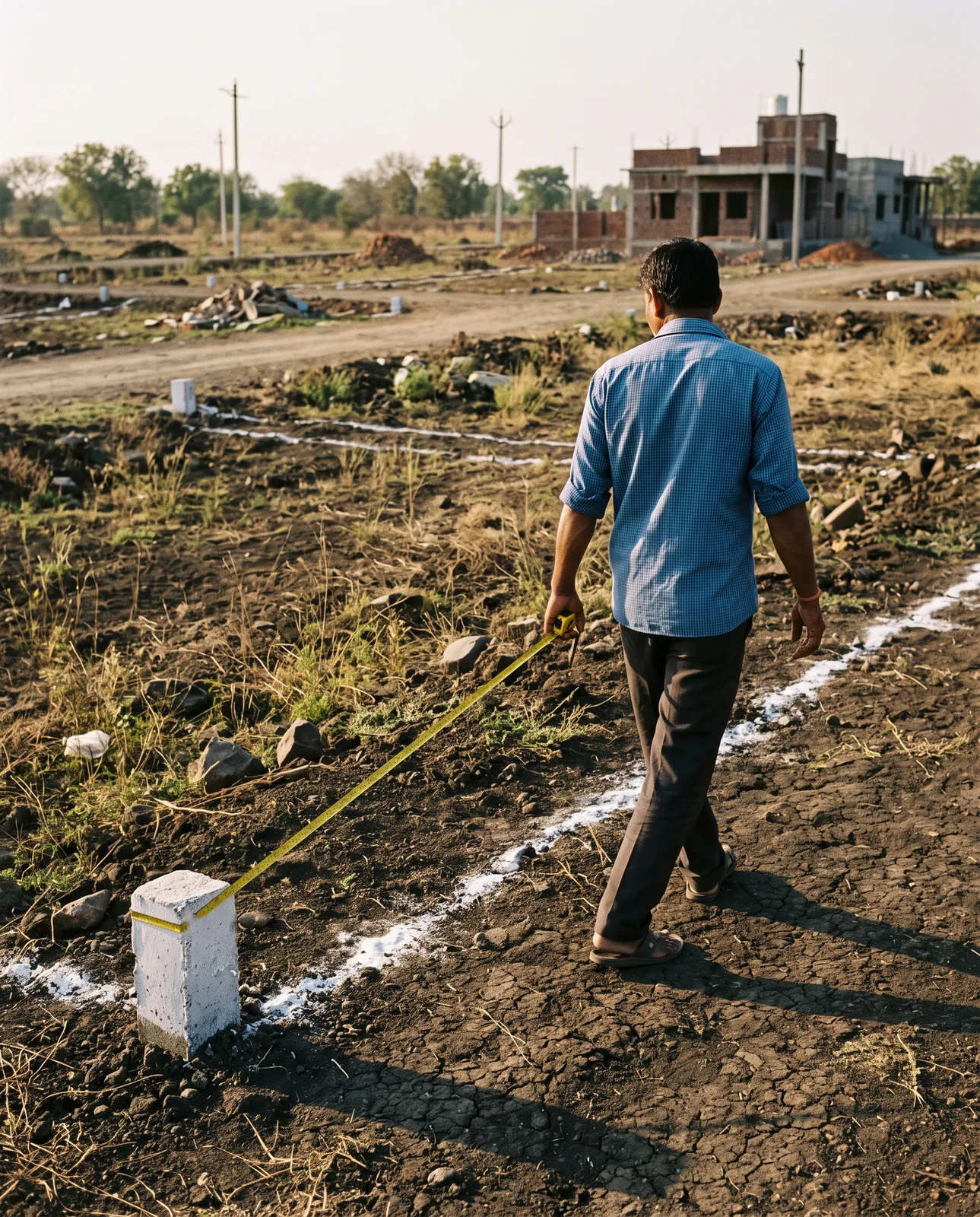
नंबर काग़ज़ पर है, कोने ज़मीन पर — दोनों देखिए।
Number kaagaz par hai, kone zameen par — dono dekhiye.
Where to find it in Madhya Pradesh
As of September 2026, three steps:
- Search the state's land-record portal. The Commissioner Land Records' WebGIS 2.0 search (भू-अभिलेख) has a ULPIN field beside the parcel ID.
- No number showing? Ask. The patwari or the tehsil office can tell you whether a ULPIN has been generated for that khasra. Whether ULPINs are shown publicly is each state's decision.
- Keep it with your papers. Note it beside the khasra number, and ask your lawyer whether it belongs in the schedule of your sale deed.
The ID says which parcel. The sanctioned layout says what the plot on it is meant to be. This guide is general information, not legal advice.
See it for yourself on the map — boundaries, plans and paperwork on one screen.
Compare the parcel with the colony's sanctioned layout on the map →Questions people ask
What is Bhu-Aadhaar?
Bhu-Aadhaar is the popular name for the Unique Land Parcel Identification Number (ULPIN), a 14-character alphanumeric ID that state revenue departments give to each land parcel, generated from the coordinates of its corners.
Is ULPIN proof of ownership of land?
No. It identifies the parcel. Ownership is shown by the record of rights, such as khasra and B-1, and by the chain of registered deeds.
How do I find the ULPIN of my land in MP?
The Commissioner Land Records' WebGIS 2.0 land-record search has a ULPIN field. If no number shows, ask the patwari or tehsil whether one has been generated for that khasra.
Does the ULPIN change when land is sold?
Not if the whole parcel is sold. If the parcel is divided, each new piece gets a new ULPIN and the old one is archived.
Is Bhu-Aadhaar 14 digits or 14 characters?
It is 14 characters, which can be letters or digits. It is often called a 14-digit number, but it is alphanumeric.
Where the facts come from. The facts and figures in this post come from verified government sources and verified RERA-registered brokers.
Indori Zameen is a private platform. It is not a government body and is not affiliated with one — always confirm a record with the concerned authority before you commit money.
Share this post
Related posts
 Papers & law7 min read
अपना खसरा ख़ुद निकालिए।
Papers & law7 min read
अपना खसरा ख़ुद निकालिए।
Pull your own land record: khasra and B1 in three steps
Your khasra and B-1 are public and searchable on the state's own portal, no sign-in needed to view. The right address, the search, and how to read it.
3 Oct 2026 Papers & law8 min read
काग़ज़ों के शब्द
Papers & law8 min read
काग़ज़ों के शब्द
Seven words on your papers: khasra, khatauni, diversion, FAR, mutation and more
Khasra, khatauni, diversion, layout sanction, guideline rate, FAR and setback, mutation: what each word on your plot's papers means, and why it matters.
8 Sep 2026 Papers & law8 min read
सरहद का झगड़ा।
Papers & law8 min read
सरहद का झगड़ा।
How boundary disputes start, and the cheap half of avoiding them
Boundary disputes begin as a few feet nobody measured. The six ways a line goes wrong, and the five cheap things to do before you build.
8 Sep 2026 Maps & plans7 min read
ऊपर से देखिए।
Maps & plans7 min read
ऊपर से देखिए।
Your plot from above: what a satellite image tells you, and what it cannot
A satellite view shows roads, neighbours and where water collects. It cannot show your boundary, your plot number, the owner or the zone.
3 Oct 2026Tagged khasra, glossary, instagram-series, boundary, how-to.
Read it. Then check it on the map.
Every colony's boundary, its approved layout, its zoning and its paperwork — on one screen. Signing in is free.