
ऊपर से देखिए।
Your plot from above: what a satellite image tells you, and what it cannot
Ten minutes with a free aerial view answers half your questions about a plot; the other half lives in drawings and registers, and here is which is which.
On this page
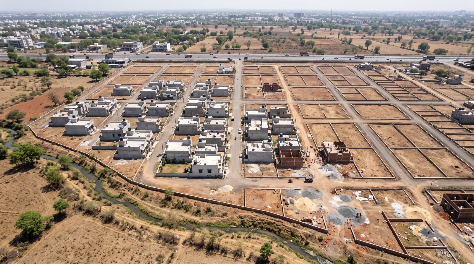
A satellite image of a plot shows the physical ground: whether roads are built, how much of the colony is occupied, what sits next door and where water would gather. It does not show where your boundary runs, which plot is which, who owns it or what the zone allows. Those live in records, and you read them separately.
Why look from above before you drive out
A site visit costs a morning. An aerial view costs ten minutes on a phone, and it lets you arrive with questions instead of impressions. The agent will show you the plot from the gate. From above you see the whole colony at once, the land around it, and the things nobody walks you towards.
Free aerial imagery of Indore is easy to find. Most map apps carry a satellite layer, and the government's own Bhuvan portal shows satellite imagery for the whole country.
ऊपर से देखिए, फिर ज़मीन पर जाइए।
Upar se dekhiye, phir zameen par jaaiye.
What the picture can tell you
Read the image the way a planner would, one question at a time.
Are the roads built, or only drawn?
A brochure shows every road as a clean grey line. From above, a built road has a hard edge, a consistent colour and vehicles on it. A drawn road is a strip of bare earth, or nothing at all. If the lane to your plot does not exist in the image, ask when it will.
How full is the colony, and how quickly is it filling?
Count roofs against empty plots. Then, if your app lets you step back through older imagery, compare two or three years. A colony that went from five houses to fifty is a different place to live from one that has stayed at five.
What is next door?
This is the question an aerial view answers best. A nala, a highway, a quarry, a graveyard, a factory shed, an open drain: each one is obvious from above and easy to miss from the plot's own gate.
Is a new road being cut nearby?
A fresh scar of earth running straight across fields, with machines on it, is usually a road under construction. It may be good news for access, or it may run closer to the plot than anyone mentioned.
How does the ground fall?
Look for darker patches, standing water after the monsoon, and the line a stream takes. Water collects where the land is low, and a plot in that hollow is the one that floods.
What the picture cannot tell you
The same image that shows so much is silent on the five questions that decide whether the purchase is safe.
| You can see | You cannot see |
|---|---|
| Built roads and empty strips | Where your boundary legally runs |
| Roofs and open plots | Which plot number is which |
| Neighbours: nala, highway, quarry | Who owns the land |
| New roads being cut | What the master-plan zone permits |
| Where water collects | What has changed since the image was taken |
Where your boundary actually runs
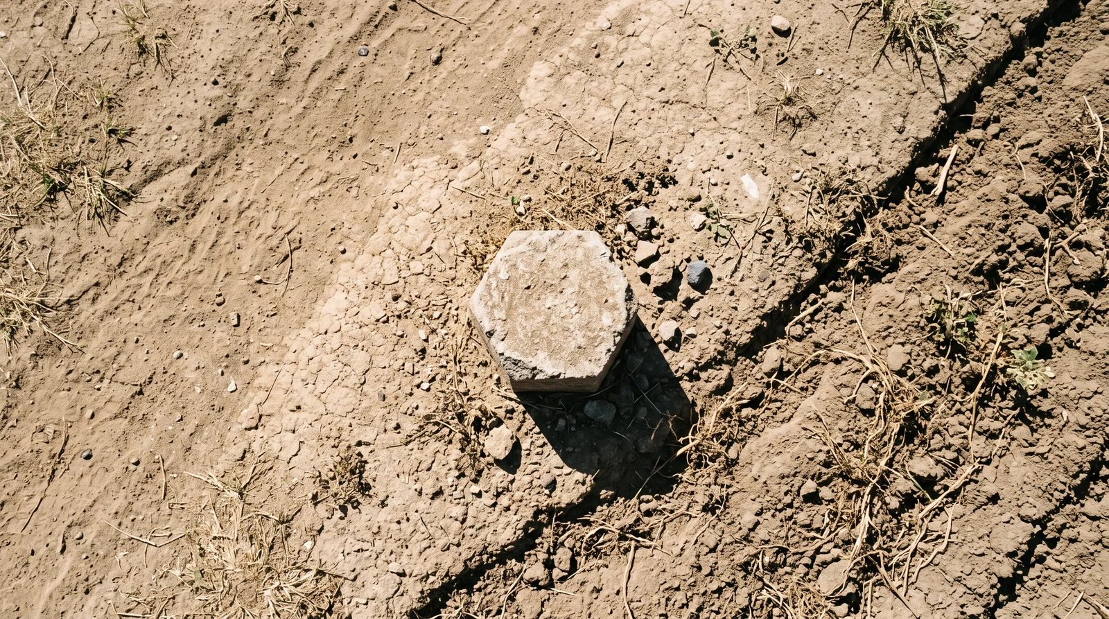
A boundary is not a wall. On the ground it is a marker stone; on the record it is a line on the revenue map and a measurement in the sale deed and the sanctioned layout. A wall can be built a metre inside or outside that line, and from orbit it looks exactly the same.
Which plot is which
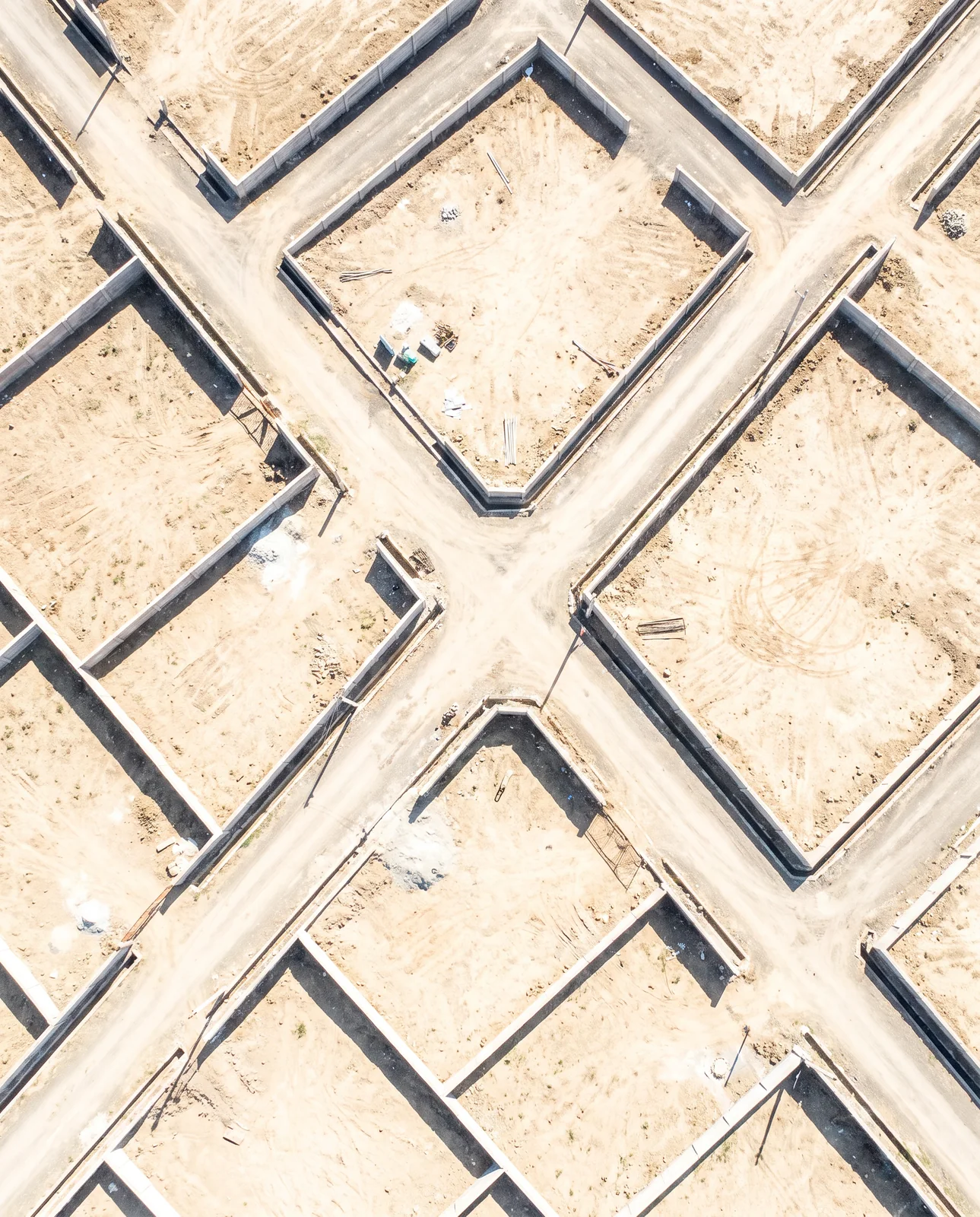
Thirty walled rectangles look identical from above. The number on your agreement belongs to one of them, and only the sanctioned layout says which.
Who owns it
Ownership is a registered document and a revenue entry, not something visible. For how to pull the record yourself, see Pull your own land record.
What the zone permits
Whether the ground is residential, commercial, green belt or reserved for a road is set by the development plan in force and the planning rules, not by what happens to stand on it today.
The layer that is missing
A satellite records walls, roofs, roads and trees. The sanctioned layout, the plot numbers, the zone and the ownership are in drawings and registers. Neither is enough alone. The picture tells you what is there; the record tells you what is allowed and whose it is.
Putting them together means taking the approved layout drawing, scaling and turning it until its corners sit on the real corners of the ground, and then reading both at once. That process is called georeferencing. Once a layout is georeferenced you can see whether the built road follows the sanctioned road, whether a wall stands on the sanctioned line, and whether the park on the drawing is a park on the ground or a row of houses.
तस्वीर और नक्शा — एक ही ज़मीन पर।
Tasveer aur naksha — ek hi zameen par.
For how to read the drawing once you have it, see How to read a sanctioned layout plan.
A ten-minute routine before any site visit
- Find the colony in a satellite view and note the image's capture date.
- Check that the road to your plot exists and is built, not just cleared.
- Scan a few hundred metres in every direction for a nala, highway, quarry, graveyard or industrial shed.
- Look for low ground and the line water would take.
- Write down three questions from what you saw, and take them on the visit.
- Then open the sanctioned layout and the zone, and compare them with what the picture shows.
On the visit itself, walk to the marker stones and compare the plot's sides with the layout. For what to check on foot, see The plot site visit.
See it for yourself on the map — boundaries, plans and paperwork on one screen.
See the colony's sanctioned layout laid over the satellite view, and its recorded boundary →Questions people ask
Can I find my plot boundary on Google Maps satellite view?
No. A satellite image shows walls and fences, not the legal boundary. The boundary is set by the sale deed, the sanctioned layout and the revenue map, and on the ground by marker stones.
How old is the satellite image on map apps?
It varies by place and app, and free imagery can be a year or more old. Look for the capture date before you rely on anything you see, especially on the edge of a growing city.
Can a satellite image show if a plot is in a flood area?
It can give clues: low ground, dark patches after the monsoon, the line of a stream or nala. Compare imagery from two seasons, then confirm on a site visit.
How do I know which plot number is which from an aerial photo?
You cannot from the photo alone. You need the sanctioned layout, ideally laid over the imagery so that each numbered plot sits on its real ground.
What is a georeferenced layout plan?
An approved layout drawing that has been scaled and positioned so its corners match the real ground in a satellite image, letting you read the plan and the picture together.
Where the facts come from. The facts and figures in this post come from verified government sources and verified RERA-registered brokers.
Indori Zameen is a private platform. It is not a government body and is not affiliated with one — always confirm a record with the concerned authority before you commit money.
Share this post
Related posts
 Buying guides8 min read
ज़मीन पर जाकर क्या देखें।
Buying guides8 min read
ज़मीन पर जाकर क्या देखें।
The plot site visit: what to check with your feet
Walk all four sides, pace the road, return at another hour, look down and up, ask the neighbours, photograph the markers with the date on. The site visit list.
8 Sep 2026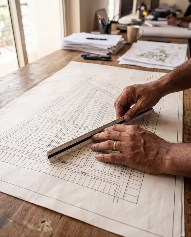 Maps & plans8 min read
नक्शा पढ़ना सीखिए।
Maps & plans8 min read
नक्शा पढ़ना सीखिए।
How to read a sanctioned layout plan
Plot numbers, road widths, open space, the reserved series and boundary lengths: how to read each one off a sanctioned layout plan before you pay.
8 Sep 2026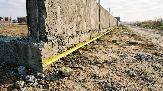 Papers & law8 min read
सरहद का झगड़ा।
Papers & law8 min read
सरहद का झगड़ा।
How boundary disputes start, and the cheap half of avoiding them
Boundary disputes begin as a few feet nobody measured. The six ways a line goes wrong, and the five cheap things to do before you build.
8 Sep 2026 Papers & law7 min read
अपना खसरा ख़ुद निकालिए।
Papers & law7 min read
अपना खसरा ख़ुद निकालिए।
Pull your own land record: khasra and B1 in three steps
Your khasra and B-1 are public and searchable on the state's own portal, no sign-in needed to view. The right address, the search, and how to read it.
3 Oct 2026Tagged boundary, site-visit, platform, instagram-series, layout-plan, how-to.
Read it. Then check it on the map.
Every colony's boundary, its approved layout, its zoning and its paperwork — on one screen. Signing in is free.