
नक्शा पढ़ना सीखिए।
How to read a sanctioned layout plan
Six things are printed on the approved drawing of a colony, and each one tells you something about the plot you are being offered.
On this page
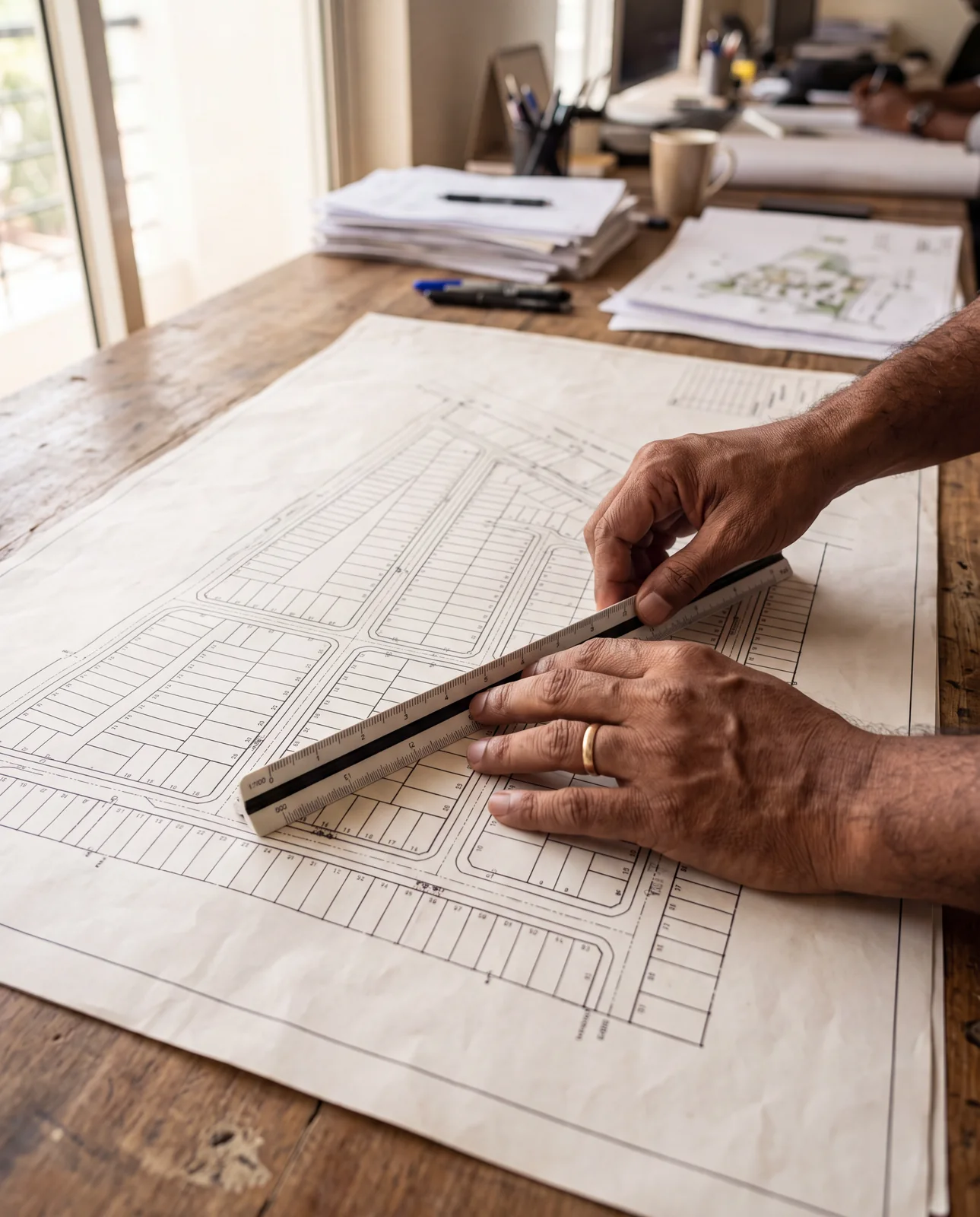
A sanctioned layout plan is the drawing the planning authority approved for a colony: which plots exist, where the roads run, and which land must stay open or reserved. To read one, look for six things in turn: the plot number, the road width, the open space, the reserved series, the boundary lengths, and finally where all of it sits on the ground.
What the sanctioned sheet is
A colony begins as one drawing. The developer submits a subdivision of the land, the planning authority examines it, and the version that comes back with a sanction is the colony as far as the law is concerned. In Madhya Pradesh that authority is the Directorate of Town and Country Planning, and the drawing is filed through its online layout approval system.
Everything else you will be shown is a description of that sheet. The brochure describes it. The board at the gate describes it. The person walking you around describes it. A description can be flattering, out of date, or simply wrong, and the only way to know is to hold it against the original.
जो नक्शा मंज़ूर हुआ है, कॉलोनी वही है।
Jo naksha manzoor hua hai, colony wahi hai.
Reading 1: the plot number
The number printed against a plot on the sanctioned sheet is that plot's legal identity. It is the number the sale deed should carry, the number the authority knows the plot by, and the number your own buyer will look for one day.
A brochure is under no obligation to use it. Sales material often renumbers a colony to suit the layout of a page, or to make a phase look complete, so the plot called 22 across the table may be a different plot on the approved drawing, or may not be on it at all.
Reading 2: the road width
Every road on the sheet carries its width in metres, printed along it. A colony will typically have a spine road of one width and internal roads of another, and the two are not interchangeable: a road marked 12 m and a road marked 9 m are different roads with different consequences.
Width decides how the plot is reached, what may be built along it, and what the colony is allowed to grow into. A plot on the wider road is a different product from a plot on the narrower one, whatever the price list says.
9 मीटर और 12 मीटर — दोनों एक जैसे प्लॉट नहीं हैं।
9 meter aur 12 meter — dono ek jaise plot nahin hain.
Reading 3: open space and garden
A colony is required to keep part of its land undeveloped, and the sheet shows that land in its own colour and its own label: open space, garden, park. It is drawn separately precisely so that nobody can later mistake it for a plot.
If the land you are being sold is coloured as open space on the approved drawing, the drawing has already answered your question. Nothing can be built there, no deed can make it a plot, and the price being asked for it is a price for something that does not exist.
Reading 4: the reserved series
Layout plans also mark land that is reserved for a purpose other than ordinary sale: plots for economically weaker sections, land for public utilities, land that passes to the authority. These are drawn in their own colour and numbered in their own series, with a prefix or a range that has nothing to do with the ordinary plots.
The series matters because two plots of the same size can sit on the same sheet with completely different rules attached. One is yours to build on as the zone allows; the other carries conditions that follow it into every future sale.
अपना नंबर किस सीरीज़ का है — यह पहले पूछिए।
Apna number kis series ka hai — yeh pehle poochhiye.
Reading 5: the boundary lengths
Along every edge of the site, the sheet prints the length of that edge in metres. These are the site dimensions, and they are the one thing on the drawing that needs no expert: a tape and half an hour will tell you whether the land in front of you is the land on the paper.
A boundary that measures short, or long, or that runs at a different angle from the sheet, is a boundary somebody will argue about later. Better to find it while the argument is still yours to walk away from.
Reading 6: the ground
Five readings off a sheet are five claims. Each one is a statement about a piece of land, and none of them is proven until the sheet is laid in its true place over that land. A plan photographed at the site office is still a picture; it tells you what was sanctioned, not whether the roads were cut where the drawing put them or whether the plot being pointed at is the plot with that number.
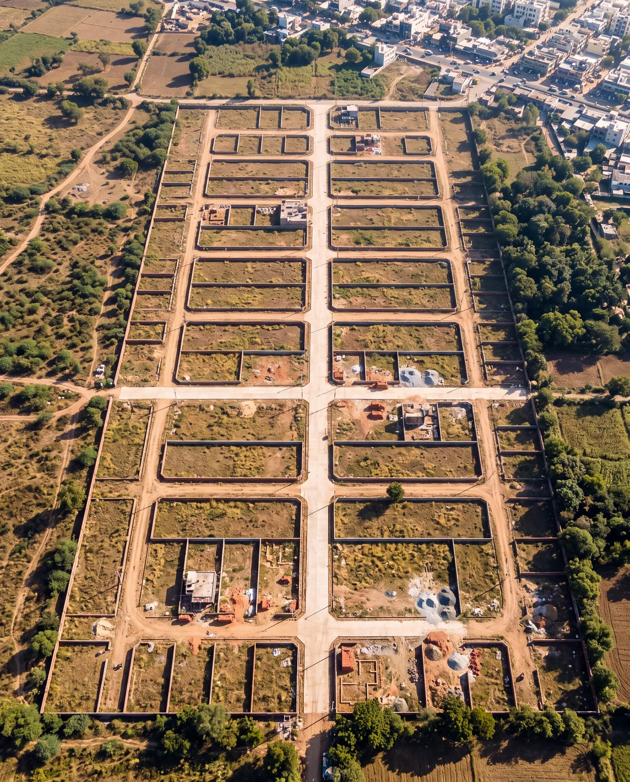
That is what georeferencing is for. The sanctioned drawing is scaled and pinned to its real coordinates over current satellite imagery, so that every plot number, every road width, every patch of open space and every boundary length sits exactly where it falls on the ground. You read the drawing, and then you look under it.
काग़ज़ पर लाइन है। ज़मीन पर क्या है?
Kaagaz par line hai. Zameen par kya hai?
Where to see the sheet over the land
Open the colony on the map, switch on its layout plan, and the sanctioned sheet appears over today's imagery at its true position. Find the plot number you were given, follow its road out to the spine, check the colour of the land around it, and read the boundary lengths against the compound walls you can see from above.
See it for yourself on the map — boundaries, plans and paperwork on one screen.
Open a colony and switch on its sanctioned layout plan →Questions people ask
What is a sanctioned layout plan?
The drawing of a colony's subdivision that the planning authority has approved. It fixes which plots exist, where the roads run and which land is reserved or kept open. In Madhya Pradesh it is sanctioned by the Directorate of Town and Country Planning.
Is the plot number in the brochure the same as the sanctioned plot number?
Not necessarily. Sales material may number plots however it likes. Ask for the number as it appears on the approved drawing and find it there yourself.
Can open space or a garden on the layout plan be sold as a plot?
No. That land is drawn separately because the colony must keep it undeveloped. A plot drawn on it is not a plot.
What does the road width on a layout plan tell me?
How the plot is reached and what may be built along that road. A 12 m road and a 9 m road are different roads, and plots on them are different products.
How do I check a layout plan against the actual land?
Measure the boundary lengths printed along the site's edges, and look at the sanctioned sheet georeferenced over satellite imagery so that every line sits where it falls on the ground.
Where the facts come from. The facts and figures in this post come from verified government sources and verified RERA-registered brokers.
Indori Zameen is a private platform. It is not a government body and is not affiliated with one — always confirm a record with the concerned authority before you commit money.
Share this post
Related posts
 Maps & plans7 min read
वादा अलग चीज़ है। नक्शा अलग।
Maps & plans7 min read
वादा अलग चीज़ है। नक्शा अलग।
Promised vs sanctioned: the brochure and the layout plan
Why a brochure binds nobody and a sanctioned layout does, what reserved land looks like on the sheet, and the one question to ask when the amenity is not on it.
8 Sep 2025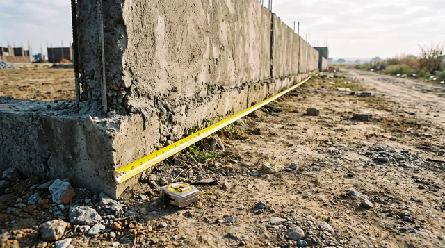 Papers & law8 min read
सरहद का झगड़ा।
Papers & law8 min read
सरहद का झगड़ा।
How boundary disputes start, and the cheap half of avoiding them
Boundary disputes begin as a few feet nobody measured. The six ways a line goes wrong, and the five cheap things to do before you build.
8 Sep 2025 Buying guides8 min read
ज़मीन पर जाकर क्या देखें।
Buying guides8 min read
ज़मीन पर जाकर क्या देखें।
The plot site visit: what to check with your feet
Walk all four sides, pace the road, return at another hour, look down and up, ask the neighbours, photograph the markers with the date on. The site visit list.
8 Sep 2025 Maps & plans7 min read
मास्टर प्लान पोर्टल कैसे इस्तेमाल करें।
Maps & plans7 min read
मास्टर प्लान पोर्टल कैसे इस्तेमाल करें।
How to use the Master Plan Portal, in five steps
Find your land on the development plan, read its zone off the colour, spot roads not yet built, find the building rules, and lay your colony on top.
8 Sep 2025Tagged layout-plan, how-to, instagram-series, site-visit, boundary.
Read it. Then check it on the map.
Every colony's boundary, its approved layout, its zoning and its paperwork — on one screen. Signing in is free.