
मास्टर प्लान पोर्टल कैसे इस्तेमाल करें।
How to use the Master Plan Portal, in five steps
The plan that decides what may be built on your land is already open on a screen; in five steps you can read it yourself.

On this page
The Master Plan Portal shows the published development plan laid over the real ground at its true position. To use it: pan to your land, read the zone off the colour using the legend, find the roads that are drawn but not yet built, open the building rules for that zone, and then lay your own colony's boundary and layout on top.
What the portal is
The development plan for Indore is a public document. It decides what may ever be built on a piece of land, and most people who own land in the city have never opened it, because until recently opening it meant finding a scanned sheet and squinting at it until you recognised a road.

The portal replaces the sheet with a map you can move. The plan is georeferenced, which means it sits over the real ground at its true position, so the village and the road you already know are where you expect them to be and the plan's colours fall on the land they govern.
Step 1: find your area
Pan and zoom to the land you care about. Underneath the plan is the ordinary map, so the village, the highway and the landmark you know are all in their real places. The slider fades the plan in and out so you can see what is under it; outside the plan's boundary the ordinary map shows through on its own.
When you are standing on the right spot, press the button that finds a colony there. It takes you from a point on the plan to the registered colony that sits on that point, with its own record.
Step 2: the colour is the land use
Every colour on the plan is a zone, and the zone is what the plan says about your land. The legend is printed on the plan itself, in English and in Hindi, and it has two columns: what is on the ground now, and what is proposed. Read your patch's colour off the legend before you read anything else, and note which column it belongs to.
Broadly, the zones are these:
| Zone | What it means on the ground |
|---|---|
| Residential | Homes, and the density the plan allows there |
| Commercial | Shops, offices, markets and wholesale |
| Industrial | Working land, light or general |
| Public and semi-public | Schools, hospitals, utilities and civic uses |
| Recreational and green | Parks and green buffers, kept open by design |
| Transportation | Roads and transport corridors, existing and proposed |
आपकी गली भी इन्हीं रंगों में से एक है।
Aapki gali bhi inhin rangon mein se ek hai.
Step 3: find the roads that are not there yet
A proposed road is a decision the city has already taken. It can arrive and lift a whole stretch of land, or it can be drawn straight through the plot you are being shown. Both are on the same sheet, and neither is on the board at the site.
Look for a road grid drawn across what is farmland today. On the ground there is nothing; on the plan there is a line, and a line on paper one day asks for the ground under it. This is the most valuable thing on the sheet and the easiest to miss, because it looks like nothing.
कागज़ की लकीर एक दिन ज़मीन माँगती है।
Kaagaz ki lakeer ek din zameen maangti hai.
Step 4: read the rules the zone brings with it
The map tells you the zone. It does not tell you how much you may build. Setbacks, ground coverage, floor area ratio and height are not drawn on the plan; they come from the statutory rulebook that governs that zone. The portal lists those columns beside the plan so you know which questions to ask, keeps six statutory rulebooks on the platform alongside the plans, and then tells you where to go and confirm the answer.
The order matters. The numbers live in a document, not on the drawing, and the sanctioned document always wins over anything a map or a person tells you.
Step 5: put your own colony on it
Up to this point the plan is an abstraction about a city. The moment your colony's boundary and its sanctioned layout are drawn on the same ground, it becomes a fact about one plot: which zone that plot falls in, and which line runs near it.
Open the colony from the plan and its record comes with it. The boundary as recorded, the layout as sanctioned, scaled onto today's imagery, and the plan's zone visible underneath. Reading a sanctioned layout is its own skill, and there is a guide to it at /guides/how-to-read-a-sanctioned-layout-plan/.
And not only Indore
The same screen carries the master plans of 39 cities across 13 states, read the same way: pan to the land, read the colour, find the proposed lines, open the rules. If you own land in another city, the plan that governs it is probably already on the portal.
Ten minutes, then decide
The plan is public. Nobody has to open it for you. Ten minutes on the portal costs nothing and is cheaper than any advice you will be given about the same land, because the plan does not want to sell you anything.
See it for yourself on the map — boundaries, plans and paperwork on one screen.
Open the development plan and find your land on it →खोलिए, घुमाइए, पढ़िए — फिर तय कीजिए।
Kholiye, ghumaiye, padhiye — phir tay keejiye.
Questions people ask
What is the Indore master plan and where can I see it?
Indore Development Plan 2021 is the city's published development plan from the Directorate of Town and Country Planning. It is laid over the real ground on the Master Plan Portal, where you can pan to your land and read its zone.
How do I know which zone my land falls in?
Find the land on the portal, read its colour off the legend printed on the plan, and check whether that colour sits in the existing column or the proposed one.
Does the master plan tell me how much I can build on my plot?
No. It gives the zone. Setbacks, ground coverage, FAR and height come from the statutory rulebook for that zone, which the portal keeps beside the plan.
What does a proposed road on the master plan mean for my plot?
That the city has already decided a road should run there. It may raise the land around it or pass through the plot itself; check where the line falls before you buy.
Is the Master Plan Portal only for Indore?
No. As of September 2026 it carries 39 city master plans across 13 states.
Where the facts come from. The facts and figures in this post come from verified government sources and verified RERA-registered brokers.
Indori Zameen is a private platform. It is not a government body and is not affiliated with one — always confirm a record with the concerned authority before you commit money.
Share this post
Related posts
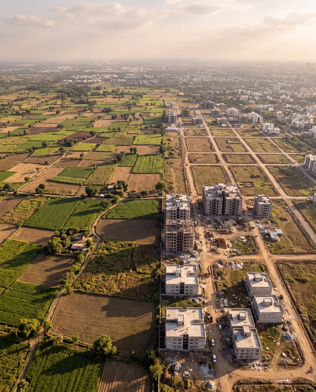 Indore7 min read
इंदौर का नक्शा बदल रहा है।
Indore7 min read
इंदौर का नक्शा बदल रहा है।
Indore is being redrawn: Master Plan 2035, the metro and the metropolitan region
A new master plan, a metro ring partly open, and a law that plans Indore as a region: what each changes for a plot, and where to check your own land.
8 Sep 2025 Indore7 min read
ब्रोशर नहीं, शहर पढ़िए।
Indore7 min read
ब्रोशर नहीं, शहर पढ़िए।
Read the city, not the brochure: judging a location yourself
Zone, roads, distance, neighbours, register: five reads that tell you what a location in Indore already is, without a single phone call.
8 Sep 2025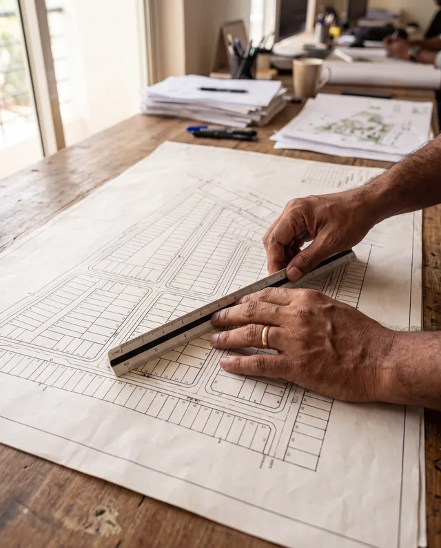 Maps & plans8 min read
नक्शा पढ़ना सीखिए।
Maps & plans8 min read
नक्शा पढ़ना सीखिए।
How to read a sanctioned layout plan
Plot numbers, road widths, open space, the reserved series and boundary lengths: how to read each one off a sanctioned layout plan before you pay.
8 Sep 2025 Papers & law8 min read
काग़ज़ों के शब्द
Papers & law8 min read
काग़ज़ों के शब्द
Seven words on your papers: khasra, khatauni, diversion, FAR, mutation and more
Khasra, khatauni, diversion, layout sanction, guideline rate, FAR and setback, mutation: what each word on your plot's papers means, and why it matters.
8 Sep 2025Tagged master-plan, how-to, platform, instagram-series, t-and-cp, layout-plan.
Read it. Then check it on the map.
Every colony's boundary, its approved layout, its zoning and its paperwork — on one screen. Signing in is free.