
ज़मीन इंदौर में। आप कहीं और।
Buying a plot in Indore when you live somewhere else
How to split the job between what you can read from your desk and what somebody must walk for you, and why the money always moves last.

On this page
Yes, and more of it than you would expect. The boundary, the sanctioned layout, the master-plan zone and the documents on file can all be read from Pune, Dubai or Melbourne. The slope, the neighbours and the road after dark cannot. Split the work along that line, send somebody for the second half, and let no money move until both halves are done.
The distance is not the real problem
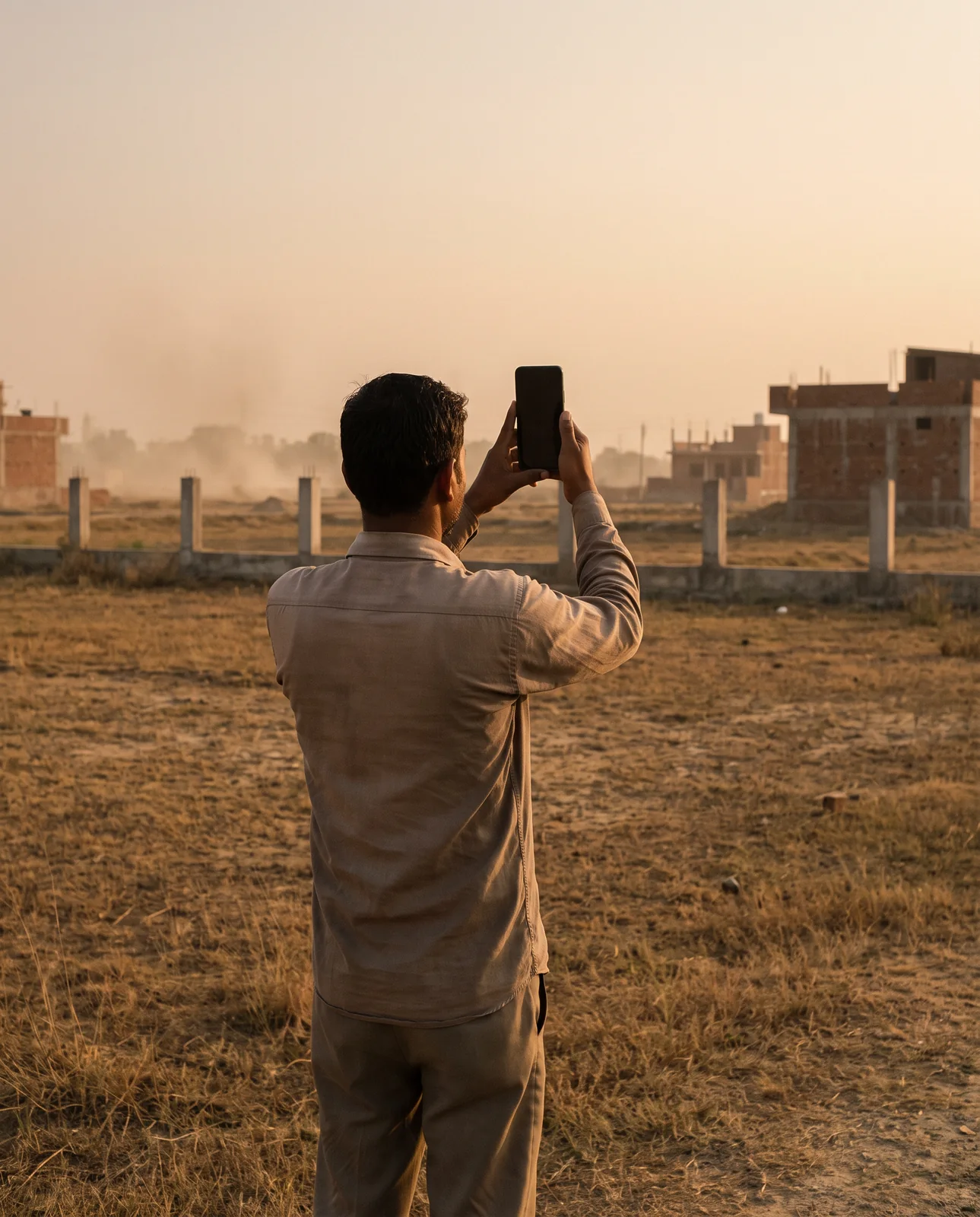
The kilometres are not what makes buying from afar risky. What makes it risky is that every single thing you know about the plot has passed through somebody else before it reached you. Someone stood on the land in your place, decided when to go, where to stand and which way to point the phone. By the time the picture arrives on your screen, it has already been edited, even if nobody meant to edit it.
जो फ़ोटो भेजी गई, आपने बस वही देखी।
Jo photo bheji gayi, aapne bas wahi dekhi.
That is not an accusation against the person who went. It is simply what a photograph is. The job, then, is to stop relying on pictures for the things pictures cannot carry, and to be very precise about the pictures you do ask for.
Four things no photograph can tell you
Send a hundred photographs of a plot and the questions that decide whether it is worth buying are all still open.
| The question | Why a picture cannot answer it |
|---|---|
| Which plot this actually is | One corner of a bare field looks exactly like every other corner of it. |
| Whether the layout was ever sanctioned | Grading a road and pegging out plots costs a fraction of what an approval costs, and looks identical from ground level. |
| What the master plan allows here | Zoning decides what may ever be built on the land, and it leaves no trace on the surface. |
| Whether the boundary you see is the boundary on record | A wall stands where somebody built it, which is not always where the record says the edge is. |
Each of these lives in a document or on a map. None of them lives in the frame of a phone camera.
What you can read from anywhere
This is the half of the job that distance does not touch. As of September 2026 the platform holds 1,161 colonies and projects, 13,352 documents and 86 georeferenced sanction plans, and every one of them opens the same way at midnight in Melbourne as it does in Indore.
Where the colony actually is
Each registered colony and project is drawn to its boundary as recorded, not marked with a pin dropped somewhere near a landmark. You can zoom to the plot, see what surrounds it and measure the distance to the main road for yourself.
The sanctioned layout, over today's imagery
The approved drawing is scaled and placed on current satellite imagery, so plot numbers, road widths and reserved land sit where they fall on the ground. If the drawing shows a road of a stated width and the imagery shows a ploughed field, you have learned something important without leaving your desk.
The zone, and what is on file
The master-plan zone decides what the land may be used for at all. Under it, on the colony's public page, sit the documents already gathered for that colony, readable before you ask anyone to send you a single picture.
What a screen will never give you
Be honest about the other half. The record answers what is true on paper. It was never going to tell you what a place is like to live in, and pretending otherwise is how buyers abroad get hurt.
- The ground itself. Slope, fill, dumping, the soil. A plot that has been quietly filled with rubble reads as flat in every photograph.
- The neighbours. Who has already bought here, who built, who is still waiting, and what they are waiting for. Nobody writes that in a file.
- The road at 7 pm. Lit or unlit, busy or deserted. A photograph taken at eleven in the morning says nothing about it.
- July. Where the water goes when it rains. Every plot looks level in March.
कुछ चीज़ें पैरों से ही पता चलती हैं।
Kuchh cheezein pairon se hi pata chalti hain.
Somebody has to go, so tell them exactly what to bring back
If you cannot walk it yourself, the person who walks it for you needs a brief, not a request for reassurance. Ask for evidence that can be checked against the record, and be specific about the form it takes.
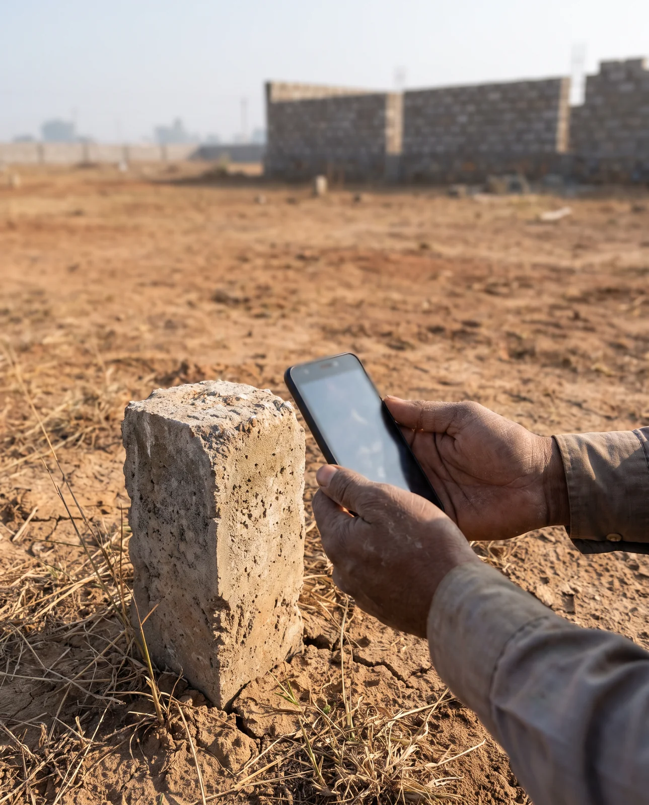
- A dated photograph of every corner of the plot, close enough to show the marker or the stone, wide enough to show what is behind it.
- One continuous video walking the full boundary, without cuts, so nothing can be left out between two frames.
- The approach road at two different hours, once in daylight and once after dark.
A power of attorney is a serious instrument
If you cannot be present, somebody will act for you at some point, and that usually means a power of attorney. Keep it narrow: one property, the specific acts you are authorising, a named person and an end date. A general power handing open-ended authority over your affairs is a different document altogether, and not one to sign because it was convenient for someone else. Take independent legal advice on the wording before you sign anything.
जितना ज़रूरी हो, बस उतना ही अधिकार दीजिए।
Jitna zaroori ho, bas utna hi adhikaar dijiye.
Worth knowing, because it explains why the wording matters: in 2011 the Supreme Court held that a sale agreement, a general power of attorney or a will, alone or in combination, does not transfer title to immovable property. Title passes only by a registered conveyance. A power of attorney lets somebody act for you; it is not, by itself, the sale.
Money moves last
Distance changes a great deal about this purchase. It does not change the order of events. First the record, then the ground, and only then the money. Not a token, not an advance, not a "small amount to hold it", until the boundary, the sanctioned layout, the zone and the paperwork have all been read and the ground has been walked by somebody you briefed.
पहले रिकॉर्ड। फिर कागज़। फिर पैसा।
Pehle record. Phir kaagaz. Phir paisa.
Where to check it yourself
Everything in the first half of this guide is on the map, for every mapped colony and project in Indore, and it reads the same from any time zone.
See it for yourself on the map — boundaries, plans and paperwork on one screen.
Open the colony, read its boundary, layout and zone from wherever you are →Questions people ask
Can I buy a plot in Indore without visiting it?
You can do the paperwork half from anywhere: the boundary, the sanctioned layout, the master-plan zone and the documents on file. Somebody still has to walk the ground for you, and you should brief them for evidence rather than reassurance.
What should I ask a relative to check when they visit a plot for me?
Dated photographs of every corner, one continuous video walking the full boundary, and the approach road at two different hours. Then compare what they send with the layout on the map.
Is a power of attorney enough to buy land in India?
A power of attorney lets someone act for you. The Supreme Court held in 2011 that a sale agreement, a general power of attorney or a will does not itself transfer title; only a registered conveyance does. Keep any power specific and take legal advice on the wording.
Should I pay a token to hold a plot before I have seen the papers?
No. The order does not change with distance: record first, ground second, money last. A token demanded urgently over the phone is a warning sign, not a courtesy.
How do I know which plot in a colony I am being sold?
Not from a photograph. Match the plot number against the sanctioned layout placed over satellite imagery on the colony's page, and ask the person on the ground to film the corners so you can compare.
Where the facts come from. The facts and figures in this post come from verified government sources and verified RERA-registered brokers.
Indori Zameen is a private platform. It is not a government body and is not affiliated with one — always confirm a record with the concerned authority before you commit money.
Share this post
Related posts
 Buying guides8 min read
ज़मीन पर जाकर क्या देखें।
Buying guides8 min read
ज़मीन पर जाकर क्या देखें।
The plot site visit: what to check with your feet
Walk all four sides, pace the road, return at another hour, look down and up, ask the neighbours, photograph the markers with the date on. The site visit list.
8 Sep 2025 Papers & law7 min read
टोकन देने से पहले
Papers & law7 min read
टोकन देने से पहले
The token: the agreement that comes before the sale deed
The token is the first money you pay and the moment you have least on paper. Six things to put in the agreement to sell before it moves.
8 Sep 2025 Buying guides7 min read
अच्छा एजेंट सवालों से नहीं डरता
Buying guides7 min read
अच्छा एजेंट सवालों से नहीं डरता
Five questions to ask your real estate agent
Five questions to put to a real estate agent before you pay a token, what a good answer sounds like, and why an agent with good stock enjoys them.
8 Sep 2025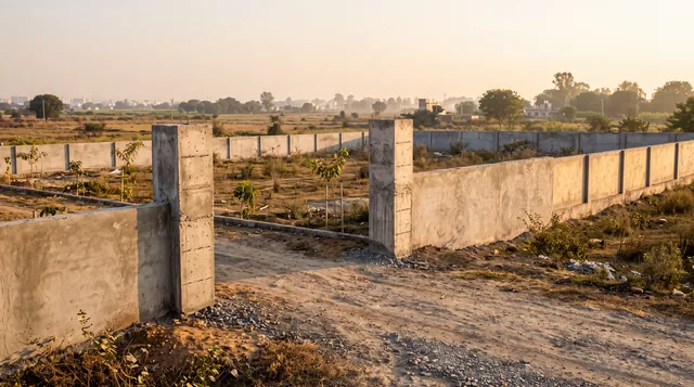 Buying guides7 min read
ज़मीन ख़रीदने से पहले
Buying guides7 min read
ज़मीन ख़रीदने से पहले
Five checks before you buy land in Indore, each with its red flag
Five two-minute checks on any plot in Indore — registration, khasra, zone, proposed roads, sanctioned plan — and the red flag hiding inside each one.
8 Sep 2025Tagged nri, agent, checklist, site-visit, instagram-series.
Read it. Then check it on the map.
Every colony's boundary, its approved layout, its zoning and its paperwork — on one screen. Signing in is free.