
यहाँ नहीं।
Where you cannot build: four kinds of land you can own and never build on
A clean title answers whose land it is. Four lines on the plan decide whether anything may stand on it, and none of them is in your file.
On this page
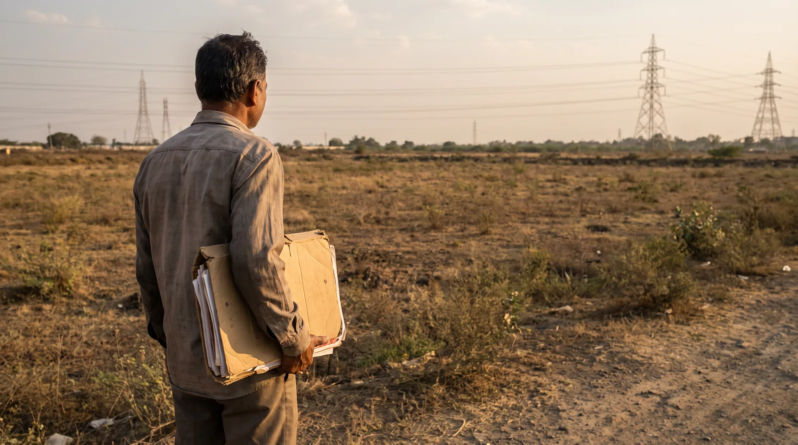
You can hold a clean title to land and still never be allowed to build on it. Ownership comes from the registry and the revenue record; permission comes from the development plan. Four things on that plan most often stop a house: a transmission line overhead, a proposed road, a green reservation and a watercourse buffer.
Two questions people treat as one
"Whose is it?" and "what may be built on it?" sound like the same question. They are answered by different papers, in different offices, by different people.
Title comes from the registered sale deeds and the revenue record. A lawyer reads the chain and tells you whether the seller can pass the land to you.
Permission comes from the development plan, the zone your land falls in, and whatever else the state has already drawn across that ground. The plan answers it, and nothing in a title search touches it.
That is why a title report can come back spotless on a piece of land where no house will ever be sanctioned. The lawyer did the job. It was the wrong job for this question.
मालिकाना हक़ अलग बात है, इजाज़त अलग।
Maalikana haq alag baat hai, ijaazat alag.
The four lines
All four are ordinary. All four are easy to miss on a site visit and hard to miss on the plan.
1. Under a transmission line
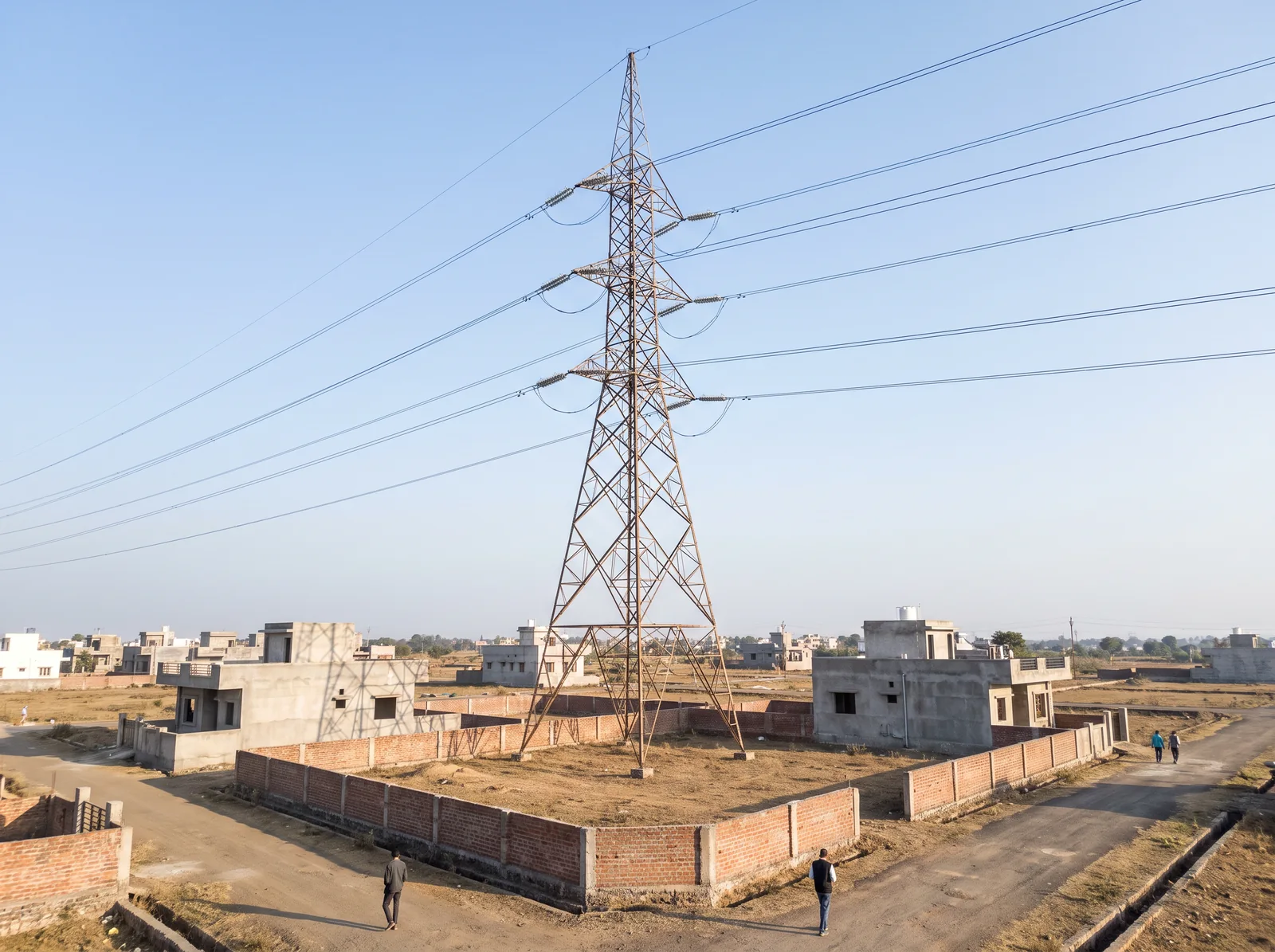
This is the one you can see from the road, and still the one people talk themselves past. Overhead lines carry statutory safety clearances around the live conductors, and those clearances take a strip of ground with them. A tower standing on the land is the obvious sign; a line simply passing overhead matters just as much.
The width of that strip is not one number. The clearance depends on the voltage of that particular line, and an 11 kV distribution line is a very different thing from a 220 kV transmission line. Anyone who quotes you a single figure for "the wire" without knowing which line it is has given you a guess.
2. A road that exists only on the plan
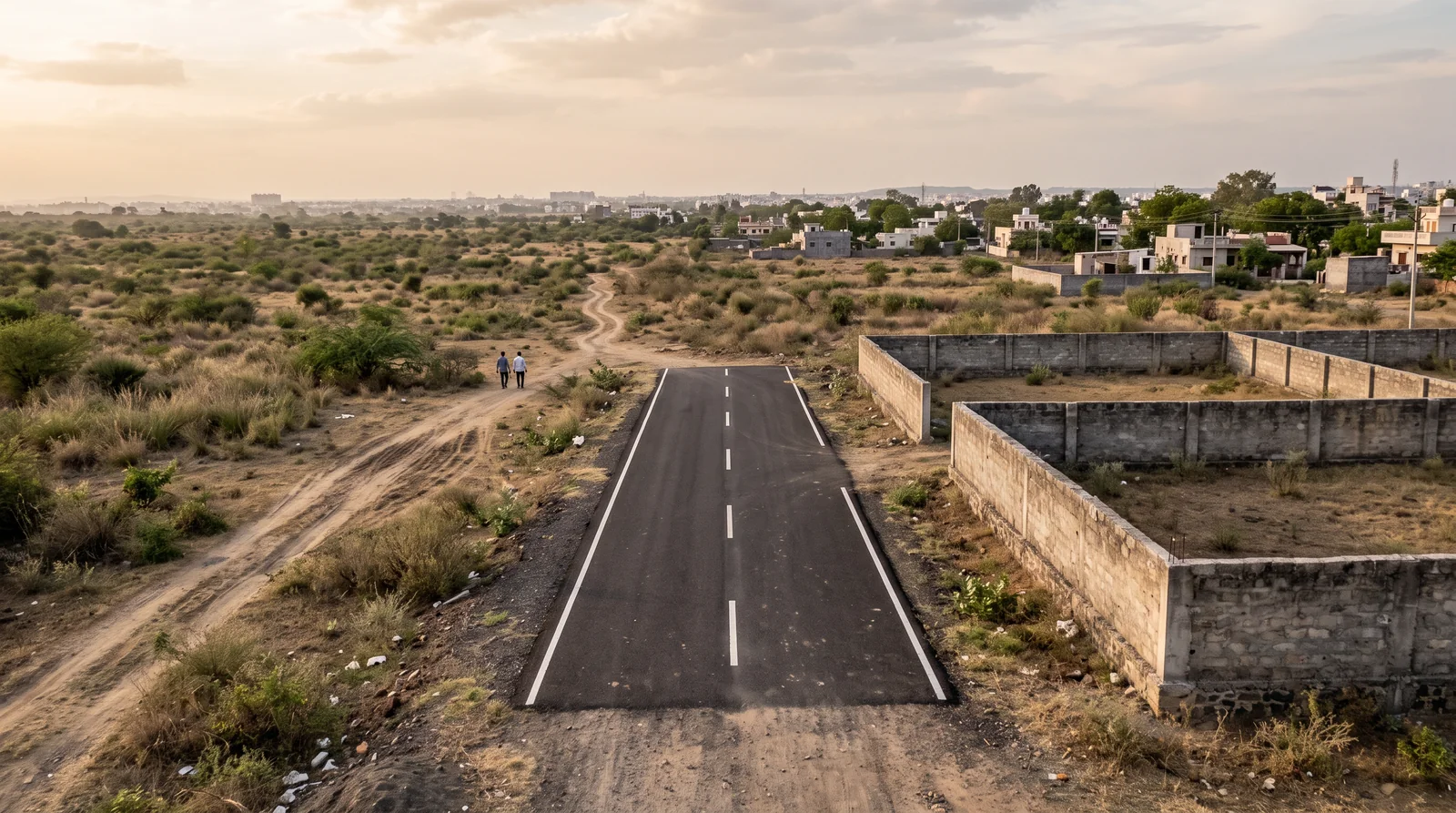
A development plan draws the roads a city will need, often decades before anyone builds them. Some are new roads across open ground; others are widening lines that push an existing road out into the plots along it. In the meantime the land under those lines is still owned, still bought and still sold.
Sometimes the person selling has not looked. Occasionally they have. Either way, when the road comes, the plan decides, not the boundary wall.
3. Inside a green or open-space reservation
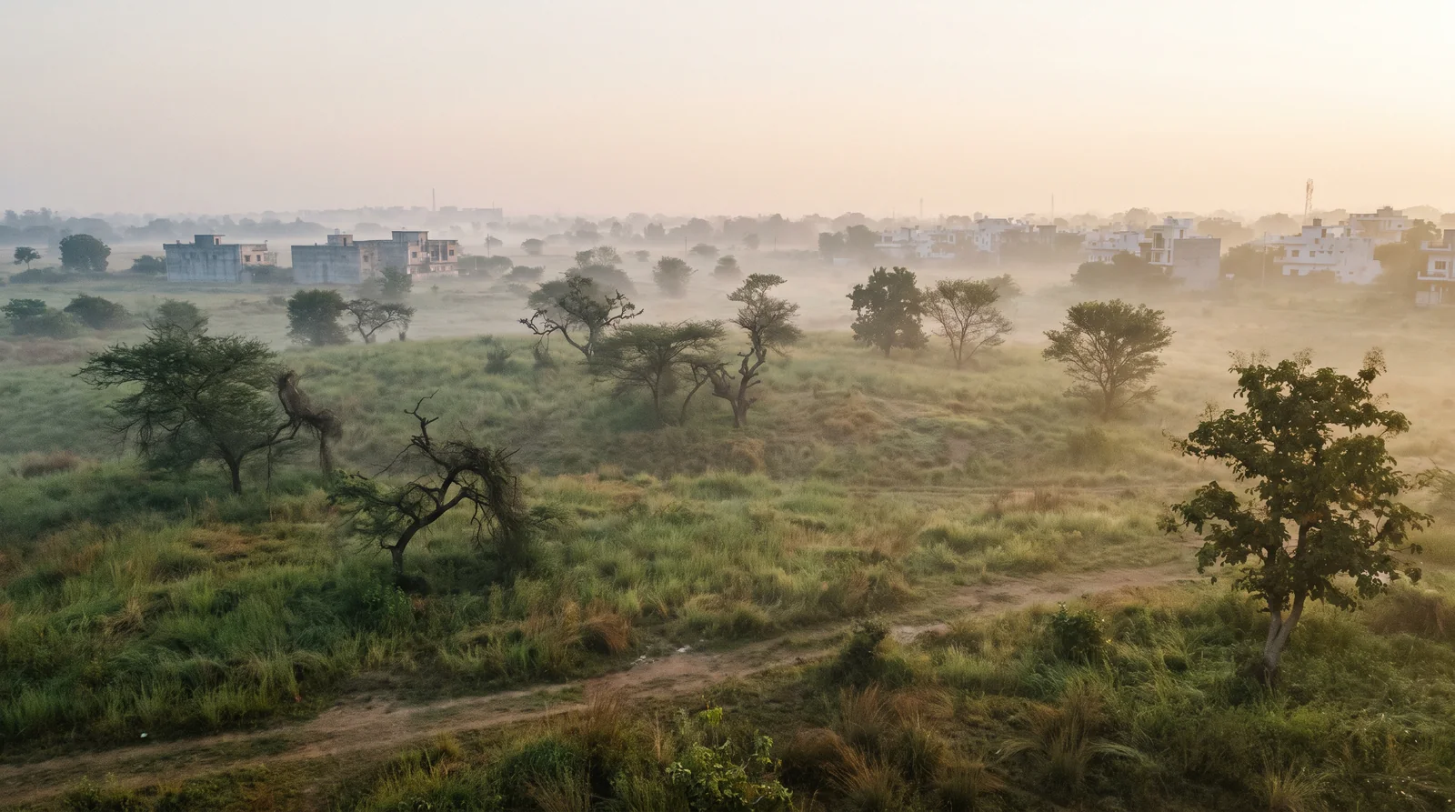
Green and open-space reservations on a plan are not decoration. They are land the city has already assigned to parks, buffers, drainage and recreation. On the ground the field looks empty and available. On the plan it is already spoken for, and it is spoken for as somewhere that stays unbuilt.
4. Along a river, nala or water body
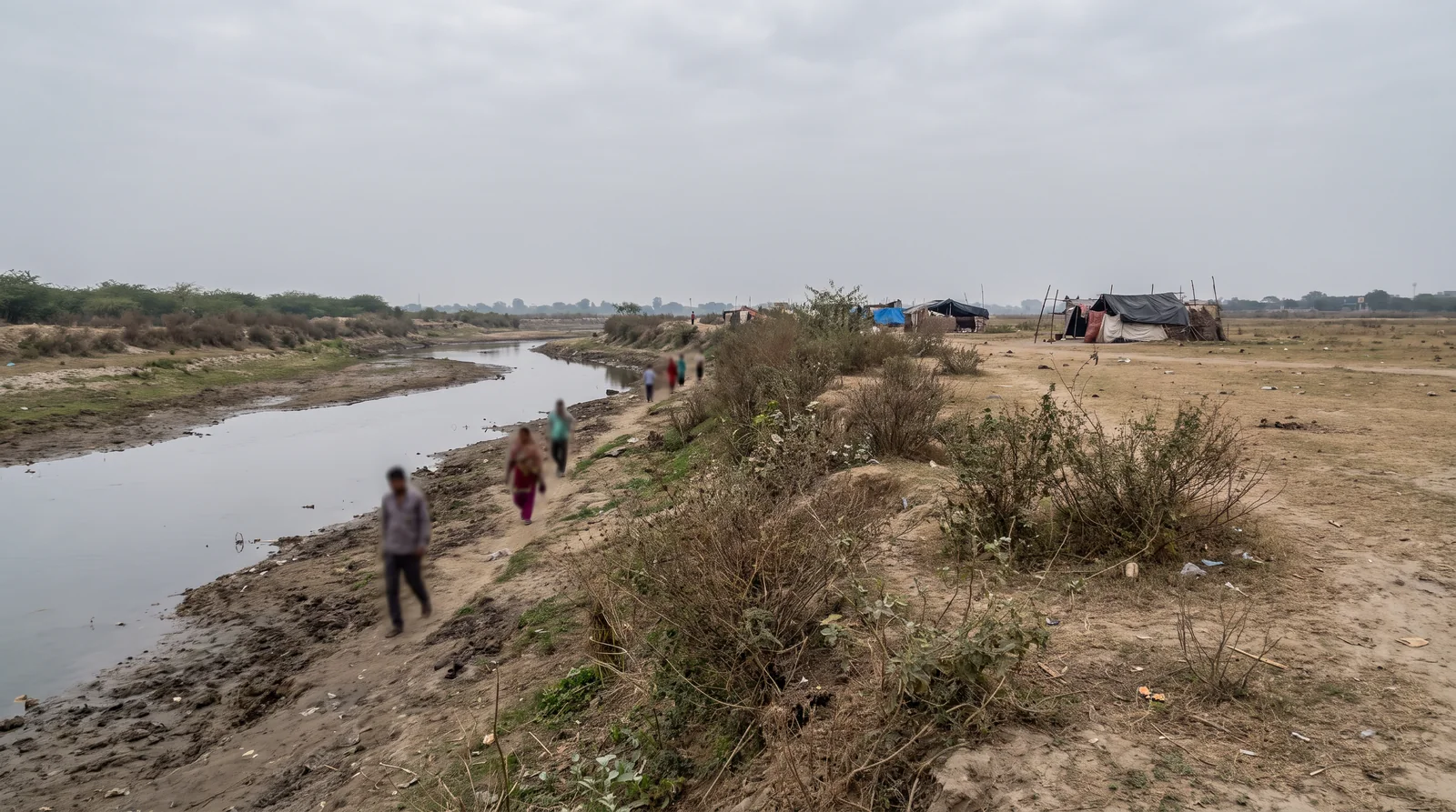
Watercourses carry their own protections, and the buffers along them are drawn for the wettest weeks of the year, not the driest. A seasonal nala that is a trickle in April is the same line that carries the water in August. That is the reason for the buffer, and it is why a site visit in the dry months can mislead.
None of this is in your file
Read every paper the seller hands you and you will not find a transmission clearance, a road line, a green reservation or a river buffer. None of them is a title question, so none of them appears in a title document. Every one of them is drawn on the plan.
That is the practical point. Before you discuss price, take the plot's location to the development plan and look at four things: the zone, any road or widening line, any reservation, and any watercourse. Then look up at the wires.
क़ीमत से पहले ज़ोन देखिए।
Keemat se pehle zone dekhiye.
| What you check | Where the answer lives | Who confirms it |
|---|---|---|
| Whose land it is | Sale deeds and revenue record | Your lawyer |
| Line overhead | The line itself, and its voltage | The electricity licensee |
| Proposed road or widening | Development plan | The planning authority |
| Green reservation | Development plan | The planning authority |
| Watercourse buffer | Development plan, and the ground in the monsoon | The planning authority |
The Master Plan Portal guide walks through finding a plot's zone step by step, and water and drainage covers what to look for on the ground.
Where to check it
See it for yourself on the map — boundaries, plans and paperwork on one screen.
Open the master plan and check the zone, roads and reservations over the plot →Questions people ask
Can I build a house under a high tension line?
Statutory safety clearances apply around overhead lines and take a strip of ground with them. The clearance depends on the voltage of that line, so ask the distribution company which line it is and what clearance applies.
What happens if my plot is on a proposed road in the master plan?
The plan's road line still applies to the land, even if the road is years from being built. Check the development plan for proposed roads and widening lines before you buy, and confirm with the planning authority.
Can I build on land marked green in the master plan?
A green or open-space reservation means the plan has committed that land to something other than housing. Confirm the zone and reservation with the planning authority before you commit money.
Does a clear title mean I can build on the land?
No. Title answers who owns the land. Whether anything may be built on it is answered by the development plan, the zone and any reservations drawn across it.
How far from a nala can you build?
Buffers along watercourses are protected and are set by the applicable plan and rules, not by how the nala looks in April. Check the plan and ask the planning authority for the line on your plot.
Where the facts come from. The facts and figures in this post come from verified government sources and verified RERA-registered brokers.
Indori Zameen is a private platform. It is not a government body and is not affiliated with one — always confirm a record with the concerned authority before you commit money.
Share this post
Related posts
 Maps & plans7 min read
मास्टर प्लान पोर्टल कैसे इस्तेमाल करें।
Maps & plans7 min read
मास्टर प्लान पोर्टल कैसे इस्तेमाल करें।
How to use the Master Plan Portal, in five steps
Find your land on the development plan, read its zone off the colour, spot roads not yet built, find the building rules, and lay your colony on top.
8 Sep 2026 Indore7 min read
इंदौर का नक्शा बदल रहा है।
Indore7 min read
इंदौर का नक्शा बदल रहा है।
Indore is being redrawn: Master Plan 2035, the metro and the metropolitan region
A new master plan, a metro ring partly open, and a law that plans Indore as a region: what each changes for a plot, and where to check your own land.
8 Sep 2026 Buying guides7 min read
पानी और ज़मीन
Buying guides7 min read
पानी और ज़मीन
Water, drainage and the plot you are about to buy
Land is bought in April and lived on in August. The slope, the fill, the drain, the supply and the zone — six checks a dry-season site visit misses.
8 Sep 2026 Papers & law7 min read
साफ़ टाइटल एक ज़ंजीर है।
Papers & law7 min read
साफ़ टाइटल एक ज़ंजीर है।
Clear title is not a certificate: how to read the chain of title
Nobody issues a certificate saying your land is fine. Clear title is a chain of owners with no gap, traced back thirty years. How to read it, and its limits.
3 Oct 2026Tagged master-plan, layout-plan, site-visit, instagram-series, t-and-cp, water.
Read it. Then check it on the map.
Every colony's boundary, its approved layout, its zoning and its paperwork — on one screen. Signing in is free.