
पानी और ज़मीन
Water, drainage and the plot you are about to buy
Six things to look at and ask about in the dry months, before the first monsoon answers them for you.
On this page
- The summer problem
- 01 · The slope: which way does the land fall?
- 02 · The rain: see the land wet, or ask someone who has
- 03 · The fill: what was here before?
- 04 · The drain: where does the colony's water go?
- 05 · The supply: water in, as well as water out
- 06 · The zone: the plan already knows
- What summer cannot tell you, the two documents can
Land is bought in the dry months and lived on in the wet ones, so a site visit in April tells you almost nothing about water. Six things fill the gap: which way the land falls, what it looks like in rain, what was filled before it was sold, where the colony's drainage goes, where its supply comes from, and what the master plan has drawn beside it.
The summer problem
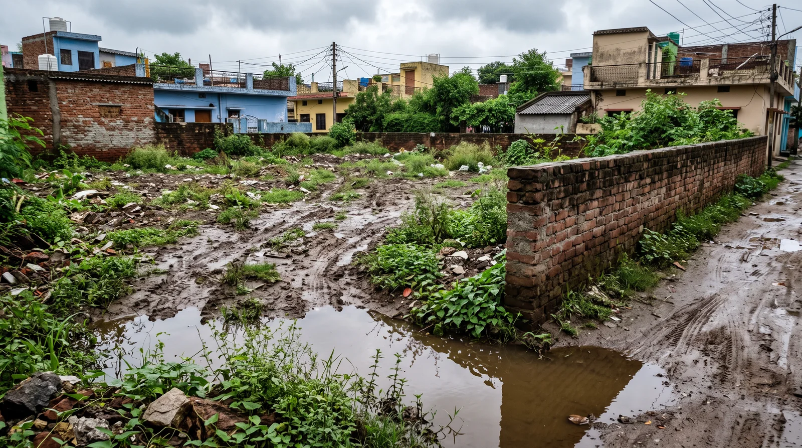
Every plot looks fine when it is dry. Where the ground falls, where the runoff of a whole colony ends up, what was levelled before the plots were drawn — none of it shows on a bright afternoon in April, and all of it is obvious by August. The south-west monsoon reaches Madhya Pradesh in June and stays until September, which means a plot bought between October and May has never been seen by its buyer under the one condition that will test it.
So the question that nobody asks — "where does the water go when it rains here?" — is worth asking before the booking rather than after the first monsoon.
गर्मी में हर प्लॉट अच्छा लगता है। सवाल जुलाई में खड़े होते हैं।
Garmi mein har plot achha lagta hai. Sawaal July mein khade hote hain.
01 · The slope: which way does the land fall?
Water goes downhill and stops at the bottom. A plot sitting at the low point of a colony collects everybody else's runoff, whatever the brochure says about it. Stand on the plot, walk to each corner, and look at the level of the land all around you.
Three things to look at:
- which corner is lowest;
- whether the road outside sits above the plot or below it — a road higher than the plot drains onto it;
- where the neighbouring land drains towards.
02 · The rain: see the land wet, or ask someone who has
A dry plot in May is not evidence of anything. A photograph of the same spot in August is worth more than any assurance you will be given — and the people already living nearby have one on their phone. Ask a neighbour. Ask for a picture. If the timing allows, go back once after a proper downpour and look at the corners again.
03 · The fill: what was here before?
Low ground is often filled and levelled before it is sold, and that is not automatically a problem. But freshly raised earth sitting a metre above the older land beside it is a thing to ask about, not a thing to walk past. Ask what the ground was before, and when it was filled; look for the step where the new level meets the old at the boundary.
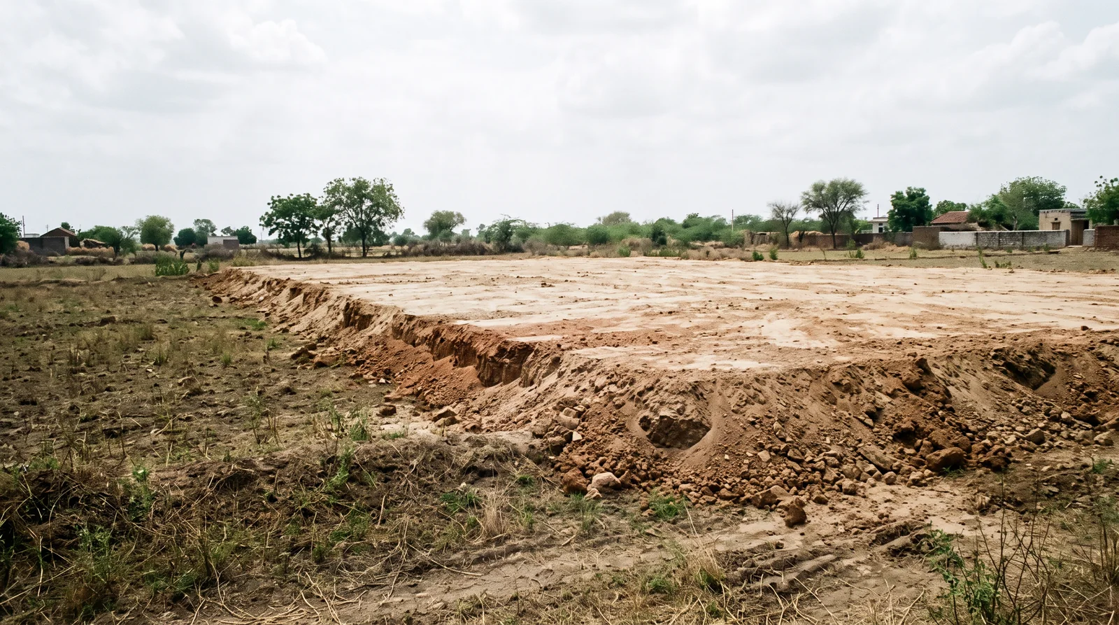
Two reasons it matters. Fill that was low ground was low for a reason, usually because water gathered there; raising it moves the water, it does not remove it. And recently placed earth settles, which is a question for whoever designs your foundation.
04 · The drain: where does the colony's water go?
A sanctioned layout is not just a sheet of plot numbers. It shows the roads as approved, the open space, and the land the layout has set aside for other things — and land reserved for drainage is not land anyone is meant to build on. Read the approved sheet rather than the sales drawing, and look at what sits between the plot and the nearest low ground.
05 · The supply: water in, as well as water out
Drainage is half the question. The other half is where the water for the house will come from, every summer, for as long as you live there. Ask about the supply: whether the colony is on a municipal line or its own arrangement; who runs the tank, the pump and the pipes, and who pays; what happens in the months before the rains; and what a household here pays for water, and to whom.
Then ask the neighbours rather than the seller: how deep the borewells around here had to go; whether tankers are a normal part of the summer; how the last few years have actually been; and what the water is like once it comes up. Anything about water is answered better by the people already living there than by anyone selling you the plot.
06 · The zone: the plan already knows
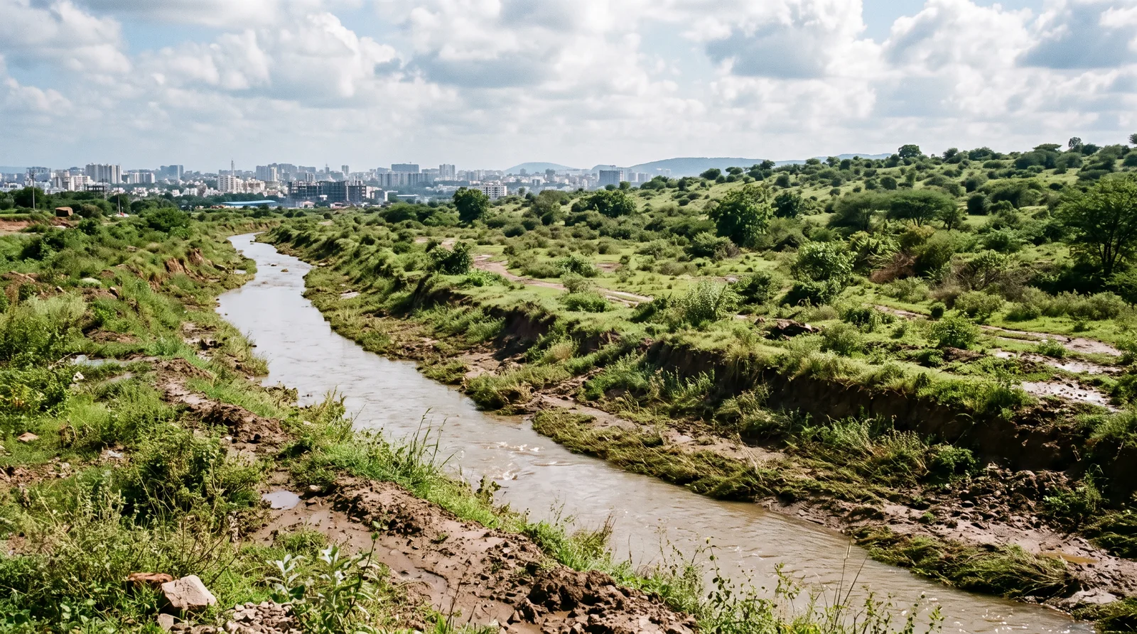
Land next to a nala is drawn that way for a reason. A master plan draws the drainage lines and the water bodies along with everything else, and gives the land around them a zone. Before you judge a plot by the plot, look at what the plan has marked running past it — and whether the colony's boundary sits inside or across that marking.
What summer cannot tell you, the two documents can
The sanctioned layout shows what the colony set aside — roads, open space, reservations. The master plan shows the drainage lines, the water bodies and the zone around them. Neither is visible standing on dry ground in April, and both are on the map, over the colony's recorded boundary, with the documents behind them. The site visit is for the slope, the fill and the neighbours' photographs; the decision is made reading the paper.
साइट विज़िट गर्मी में, फ़ैसला काग़ज़ पढ़कर।
Site visit garmi mein, faisla kaagaz padhkar.
See it for yourself on the map — boundaries, plans and paperwork on one screen.
Read the layout's reservations and the zone around the colony →Questions people ask
How do I check if a plot gets waterlogged?
Stand on it and find the lowest corner, check whether the road outside sits above or below it, and ask a neighbour for a photograph of the spot in August. A dry plot in May proves nothing.
Is a plot on filled land safe to buy?
Filling is common and not automatically a problem, but ask what the ground was before and when it was filled. Low ground that was filled was collecting water for a reason, and fresh fill settles.
Can I build on land reserved for drainage on the layout plan?
No. Land the sanctioned layout sets aside for drainage or open space is not a plot, and a plot number drawn on it is a reason to read the approved sheet carefully.
How close to a nala can a plot be in Indore?
Read the master plan. It draws the drainage lines and water bodies and gives the land around them a zone; whether a colony sits inside or across that marking is on the Master Plan Portal.
Who should I ask about water supply in a colony?
The households already living there, not the seller. Ask how deep the borewells went, whether tankers come in summer, and who they call when the water stops.
When is the monsoon in Indore?
The south-west monsoon reaches central India in June and withdraws by September. A plot seen only between October and May has not been seen in the rain.
Where the facts come from. The facts and figures in this post come from verified government sources and verified RERA-registered brokers.
Indori Zameen is a private platform. It is not a government body and is not affiliated with one — always confirm a record with the concerned authority before you commit money.
Share this post
Related posts
 Buying guides8 min read
ज़मीन पर जाकर क्या देखें।
Buying guides8 min read
ज़मीन पर जाकर क्या देखें।
The plot site visit: what to check with your feet
Walk all four sides, pace the road, return at another hour, look down and up, ask the neighbours, photograph the markers with the date on. The site visit list.
8 Sep 2025 Buying guides8 min read
सुविधा है या वादा?
Buying guides8 min read
सुविधा है या वादा?
Is the colony serviced? Power, water, sewer
A gate, a road and a wall can be finished years before a working connection. Six questions and one visit after dark tell you what you are really buying.
8 Sep 2025 Maps & plans7 min read
मास्टर प्लान पोर्टल कैसे इस्तेमाल करें।
Maps & plans7 min read
मास्टर प्लान पोर्टल कैसे इस्तेमाल करें।
How to use the Master Plan Portal, in five steps
Find your land on the development plan, read its zone off the colour, spot roads not yet built, find the building rules, and lay your colony on top.
8 Sep 2025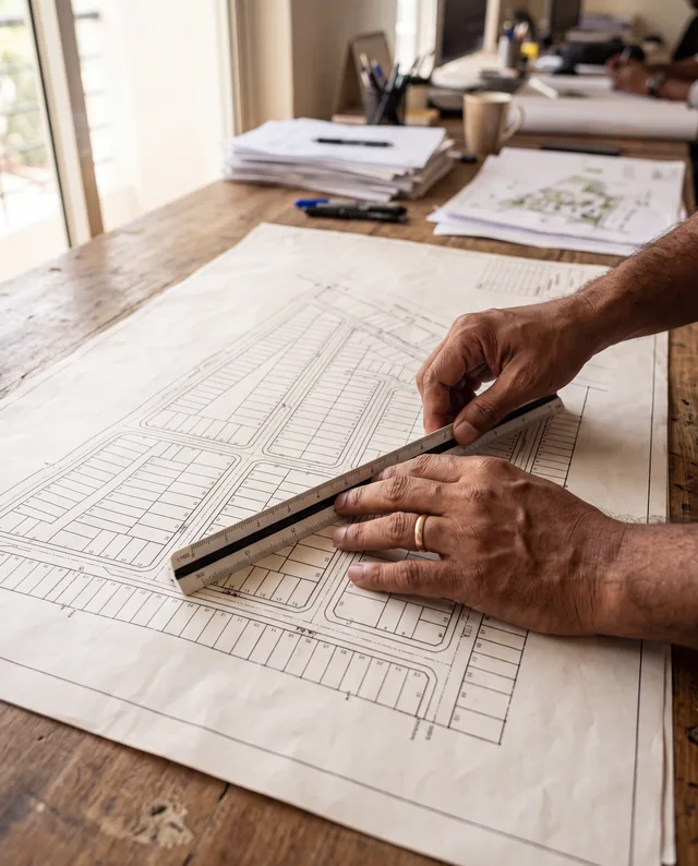 Maps & plans8 min read
नक्शा पढ़ना सीखिए।
Maps & plans8 min read
नक्शा पढ़ना सीखिए।
How to read a sanctioned layout plan
Plot numbers, road widths, open space, the reserved series and boundary lengths: how to read each one off a sanctioned layout plan before you pay.
8 Sep 2025Tagged water, site-visit, instagram-series, layout-plan, master-plan.
Read it. Then check it on the map.
Every colony's boundary, its approved layout, its zoning and its paperwork — on one screen. Signing in is free.