Master plan · Maharashtra
Master Plan of Mumbai
See Mumbai's master plan mapped on the ground, compare it with satellite imagery, and find the zone of your property — with the plan documents and the building rules that apply in Mumbai.
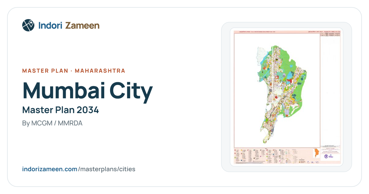
See the mapped master plan
The Mumbai plan sits at its true place on the map, from the whole planning area down to a single street.
Compare it with the ground
Drag the Compare divider across the plan, or fade it with the opacity slider, to check it against satellite imagery of what is there today.
Find the zone of your property
Search for your locality or landmark. The pin lands on the plan, and the colour under it is the land use the plan gives that ground.
Which plan applies in Mumbai today
Inside the Brihanmumbai Municipal Corporation (MCGM/BMC) limits, land use is fixed by the Development Plan 2034. Every building follows Mumbai's own Development Control and Promotion Regulations (DCPR) 2034, not the statewide UDCPR. MCGM's Building Proposal department grants building permission through its online system. Near the airport, the Airports Authority of India's height limits also apply, so a plot may not be able to use its full DCPR height. Outside the city, the MMRDA Regional Plan 2016-36 sets broad land use for the wider region.
The plans on our map
- Open on the map
Mumbai City Master Plan 2034
- Open on the map
Mumbai Region Airport Funnel Master Plan 2024
Master plan documents
The plans in force, the drafts and the maps, at the authority that publishes them.
Development Plan 2034 for Greater Mumbai: DP remarks portal
in forceThe sanctioned land-use plan for all of Greater Mumbai. The official DP remarks portal lets you look up a property by CTS/CS or FP number and see its zone, reservations and road lines.
Note: Interactive portal. Official DP remarks and certified sheets are paid services.
MMR Regional Plan 2016-2036
in forceThe broad land-use plan for the Mumbai Metropolitan Region outside city development plans. It was sanctioned in April 2021 and came into force in June 2021. It decides which village land can be urbanised and which stays green or protected.
Building rules in Mumbai
What decides how much you may build, how far back from the road and how high: the rules of Maharashtra and of Mumbai itself, on top of the national codes below.
Mumbai
Development Control and Promotion Regulations (DCPR) 2034 for Greater Mumbai
Mumbai's own building rulebook. It covers FSI and fungible FSI, TDR, redevelopment schemes (cessed buildings, slum rehabilitation, housing societies), setbacks, parking and height. It replaced the old DCR 1991 within MCGM limits.
Note: This is the base 2018 text. Many regulations have since been changed by separate notifications. A 2024 proposal for TOD rules and a March 2025 proposal (Reg. 33(26)) to ease redevelopment in the airport funnel zone were published for objections. We did not confirm whether either has been sanctioned.
DCPR 2034 with sanction notifications (MCGM compiled copy)
A copy of the regulations bundled with the government notifications that sanctioned them. MCGM publishes it for applicants.
AAI Colour Coded Zoning Maps and height clearance (NOCAS)
Near airports, building height is capped by aviation safety surfaces. AAI's NOCAS portal shows the permissible top elevation for each map grid and handles height clearance (NOC) applications.
Note: A central-government rule applied locally. Included because it limits heights in the airport funnel area.
Maharashtra
Maharashtra Regional and Town Planning Act, 1966 (as modified to 15 May 2018)
The parent planning law of Maharashtra. Regional plans, city development plans, town planning schemes and building permissions are all made under it, and it penalises construction without permission.
Note: Copy hosted by the state Directorate of Town Planning. The India Code page (indiacode.nic.in handle 16117) timed out when checked.
MahaRERA (Maharashtra Real Estate Regulatory Authority)
Maharashtra's RERA authority. On its portal buyers can check whether a project and its promoter are registered, see the plans filed and the promised completion date.
National codes, everywhere in India
National Building Code of India 2016 (SP 7:2016)
The national model code for how buildings are planned, built and made safe. It covers structure, fire and life safety, plumbing, electrical work and accessibility, and states base their building rules on it.
Model Building Bye-Laws 2016
A template set of building bye-laws. States and cities adapt it into their own rules on setbacks, FAR, parking, green building and approval steps.
Real Estate (Regulation and Development) Act, 2016
Larger real-estate projects and agents must register with the state RERA. The Act sets builders' obligations and gives buyers a fast way to file complaints.
Harmonised Guidelines and Standards for Universal Accessibility in India 2021
Design standards that make buildings and public spaces usable by persons with disabilities, older people and children. The RPwD rules make them binding for many buildings.
Urban and Regional Development Plans Formulation and Implementation (URDPFI) Guidelines 2014
National guidance on preparing master and development plans. It includes the land-use categories and amenity standards that most state plans follow.
Eco Niwas Samhita 2018 (Energy Conservation Building Code - Residential)
An energy-efficiency code for homes. It limits heat gain through walls, roofs and windows, encourages daylight and ventilation, and states adopt it into their bye-laws.
NOCAS - Height clearance NOC around airports
The online system for getting the height No Objection Certificate needed for buildings near civil airports. The height allowed depends on how far the site is from the runway.
National Monuments Authority - NOC near protected monuments
Construction is prohibited within 100 m of a centrally protected monument, and within 300 m it needs NMA permission. This site handles those applications and publishes heritage bye-laws.
Indicative zoning norms · FAR, coverage, height
| Zone | FAR / FSI | Coverage | Height |
|---|---|---|---|
| Residential | 1.33 | 50% | Unrestricted |
| Commercial | 5.0 | 60% | Unrestricted |
| Industrial | 1.0 | 50% | 12m |
| PSP | 1.33 | 40% | Unrestricted |
Indicative norms read off the published plan for Mumbai City. Check the sanctioned document and the building rules above with MCGM / MMRDA before relying on them.
Questions about the Mumbai master plan
Does UDCPR apply in Mumbai?
No. Greater Mumbai is expressly excluded from UDCPR, so buildings in MCGM limits follow DCPR 2034. UDCPR does apply in most other MMR cities, such as Thane, Navi Mumbai and Vasai-Virar.
How do I check the zone of a Mumbai property?
Use MCGM's DP 2034 remarks portal with the CTS/CS or FP number. It shows the zone, any reservation, and any planned road widening that affects the plot.
Why are buildings near the airport shorter?
The Airports Authority of India caps heights around Chhatrapati Shivaji Maharaj International Airport through its zoning maps. A project needs a height NOC unless it stays within the permissible top elevation for its grid.
Which plan covers areas outside BMC limits?
MMRDA's MMR Regional Plan 2016-36 covers the region's non-municipal areas. Each neighbouring corporation has its own development plan.
Indori Zameen is an informative platform, not an official record. Every link and status on this page was checked on 28 September 2026; plans and rules change by notification, so confirm with the authority — and a registered architect — before you buy or build.