
ये रजिस्टर कैसे बना
How the Indori Zameen register was built
Three years of collection, village by village, before there was a platform to put any of it on: here is the method, and the one rule it rests on.

On this page
The register was built by gathering the records first, one village at a time, over three years, and only then building a platform to hold them. Everything in it comes from verified government sources and verified RERA-registered brokers. Every boundary on the map was found in a record, checked, and drawn where the record puts it. Whatever could not be placed honestly was left unmapped.
Why this needs saying
Nobody has told you why a map on a screen deserves your trust, and you should not extend it on request. A map is worth exactly the work that went into it. So this guide describes the work plainly: who read the records, how a boundary got its shape, and what happens when a record is missing or disputed.
नक़्शा उतना ही सच्चा होता है, जितनी मेहनत उसके पीछे लगी हो।
Naksha utna hi sachcha hota hai, jitni mehnat uske peechhe lagi ho.
Step one: gather
The collection came before the platform. For three years the work was finding the records themselves: registrations, survey records, sanctioned layout plans, city master plans and the statutory rulebooks that go with them, all of it from verified government sources and verified RERA-registered brokers. They were gathered village by village, because that is how Indore's land is organised and because nobody hands you a city in one file.
The gram panchayat is the spine of the register, not a label on it. Every colony is filed under the village it sits in, and that village decides how the record is coloured on the map and how it is filtered.
तीन साल — गाँव-गाँव, काग़ज़-काग़ज़। तब जाकर नक़्शा बना।
Teen saal — gaon-gaon, kaagaz-kaagaz. Tab jaakar naksha bana.
Step two: verify
Finding a document is one thing. Knowing it is right is another. The papers behind the register were read against each other: a registration against its sanctioned layout, a layout against the survey record, a survey record against the master plan zone the land sits in. Where two sources disagreed, nothing was published for that colony until the disagreement was resolved. The record waited.

The papers were also read against people. Verified RERA-registered brokers who practise in Indore, and who sell in these colonies every week, were in the loop from the start. They are the first to notice when a record has gone stale, when a colony has changed hands, or when the name on a sheet is not the name anybody on the ground uses.
Step three: place it on the ground
A colony's boundary is drawn where the record says it is: to its recorded extent, as a shape, not as a point. Where the colony has a sanctioned layout, that drawing is georeferenced, which means it is stretched and pinned onto satellite imagery until every corner of it sits where it really is. A plot number on paper becomes a plot you can point at on the map.
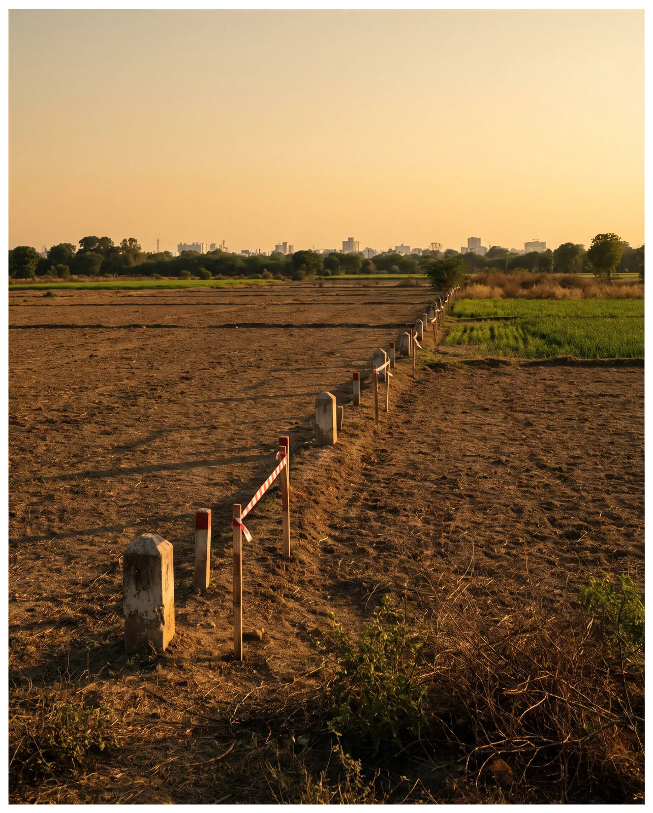
This is the difference between a pin and a boundary. Anyone can drop a pin: one point somebody typed in, which says roughly here and nothing about where the colony ends. A boundary has to be found in a record, read, and drawn to the shape the record gives it, so that you can see what is inside it and what is not.
Step four: publish, then keep it current
Each colony gets one public page, and the page is not frozen on the day it went live. Records change: a registration lapses, a plan is revised, a boundary is corrected. The register is corrected with them. A map that was right in the year it was made and never touched again is a different thing from a register that is kept.
Who did the work
The register was built by architects and town planners, people who read sanction plans for a living. That matters for a simple reason: a drawing is a document, not a picture. Setbacks, road widths, open space and plot numbering mean something specific, and they were read the way the sanctioning authority wrote them.
The mapping was done the same way. Each plan was georeferenced onto imagery until it lined up with the ground, not eyeballed onto a screenshot. And the trade stayed in the loop throughout: verified RERA-registered brokers checked what the planners had placed against what they knew from the ground.
जो लोग नक़्शे पढ़ना जानते हैं, उन्होंने ही ये बनाया है।
Jo log nakshe padhna jaante hain, unhone hi ye banaya hai.
The rule everything rests on
There is an easy way to build a map of a city. Guess the outline where the record is unclear, round off the awkward corners, fill the gaps so that nothing looks missing, and let the buyer discover the difference on site. A map with no holes in it looks better. It is also worth less.
The register does the opposite. If the record for a colony is missing, unclear or disputed, that colony is marked not mapped yet, and it stays that way until it can be placed truthfully. It is still listed and still searchable; it simply has no boundary drawn for it, because nobody knows the boundary well enough to draw one.
That rule is the reason the register took years rather than months. It is also the reason the rest of the map is worth reading.
The same method, wider
The method that reads a sanction plan in Indore reads one anywhere. The same portal now carries 39 city master plans across 13 states, so that the plan governing a piece of land in another city can be opened, panned and read the same way.
Now it is yours to use
Three years of groundwork were done so that one afternoon of yours is enough. Open the map, find the colony, and read its boundary, its sanctioned layout and its papers yourself, on a phone, in the time it takes to finish a cup of tea.
See it for yourself on the map — boundaries, plans and paperwork on one screen.
Find a colony and read its boundary, layout and papers →Questions people ask
What are the colony boundaries on Indori Zameen based on?
On records from verified government sources and verified RERA-registered brokers: survey records, sanctioned layout plans and registrations, gathered village by village and drawn to the extent the record gives. They are boundaries as recorded, not a fresh survey.
Is Indori Zameen a government website?
No. It is a private platform. Its records come from verified government sources and verified RERA-registered brokers, placed on one map. Always confirm a record with the concerned authority before you commit money.
What does not mapped yet mean on the map?
That the colony is in the register but its boundary could not be placed truthfully from the records available. It is listed and searchable, but no outline is drawn until one can be.
What is a georeferenced sanction plan?
The approved layout drawing scaled and pinned to its real coordinates over satellite imagery, so every plot number and road on the paper sits where it falls on the ground.
How many colonies are on the Indori Zameen map?
As of September 2026, 1,161 colonies and projects are mapped, resting on 13,352 documents from verified government sources and verified RERA-registered brokers, across 81 gram panchayats.
Where the facts come from. The facts and figures in this post come from verified government sources and verified RERA-registered brokers.
Indori Zameen is a private platform. It is not a government body and is not affiliated with one — always confirm a record with the concerned authority before you commit money.
Share this post
Related posts
 Maps & plans7 min read
ज़मीन का हर सवाल, एक ही जगह।
Maps & plans7 min read
ज़मीन का हर सवाल, एक ही जगह।
What Indori Zameen is, and how to use it
Indore's registered colonies on one map, each with its boundary, sanctioned layout, zoning and papers: what is there, what is not, how to read one fast.
8 Sep 2025 Maps & plans7 min read
वादा अलग चीज़ है। नक्शा अलग।
Maps & plans7 min read
वादा अलग चीज़ है। नक्शा अलग।
Promised vs sanctioned: the brochure and the layout plan
Why a brochure binds nobody and a sanctioned layout does, what reserved land looks like on the sheet, and the one question to ask when the amenity is not on it.
8 Sep 2025 Maps & plans8 min read
नक्शा पढ़ना सीखिए।
Maps & plans8 min read
नक्शा पढ़ना सीखिए।
How to read a sanctioned layout plan
Plot numbers, road widths, open space, the reserved series and boundary lengths: how to read each one off a sanctioned layout plan before you pay.
8 Sep 2025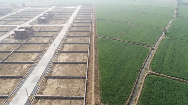 Indore8 min read
नगर निगम के अंदर या बाहर?
Indore8 min read
नगर निगम के अंदर या बाहर?
Inside or outside municipal limits: gram panchayat or IMC
Inside IMC or in a gram panchayat: who sanctions the colony, who lets you build, who owns the pipe and who sends the bill, and how to find out before you pay.
8 Sep 2025Tagged platform, instagram-series, layout-plan, boundary, gram-panchayat. Updated 8 Sep 2026.
Read it. Then check it on the map.
Every colony's boundary, its approved layout, its zoning and its paperwork — on one screen. Signing in is free.